
- Start >
- Groundwater >
- Waterlevel of upper layer >
- Bayern >
- HWS Amper-Dachau GWM 2 >
- Master data

Master data HWS Amper-Dachau GWM 2
Site number: 16927
Measuring point system: Staatliches Sondernetz
Community: Bergkirchen
District: Dachau
Operator:  Wasserwirtschaftsamt München
Aquifer:
Measurement site depth under ground: 4.00 m
Ground level: 485.56 m above sealevel
Easting: 677874 (ETRS89 / UTM Zone 32N)
Northing: 5346048
Observation period: 13.03.2017 to 20.05.2026
Hauptwerte (Tagesmittelwerte):
Maximum waterlevel (HHW): 485.25 m above sealevel
Mean waterlevel (MW): 484.75 m above sealevel
Minimum waterlevel (NNW): 484.56 m above sealevel
Mean Highest Groundwater Level (MHGW): 485.00 m above sealevel (Period: 01.11.2016 - 01.11.2026)
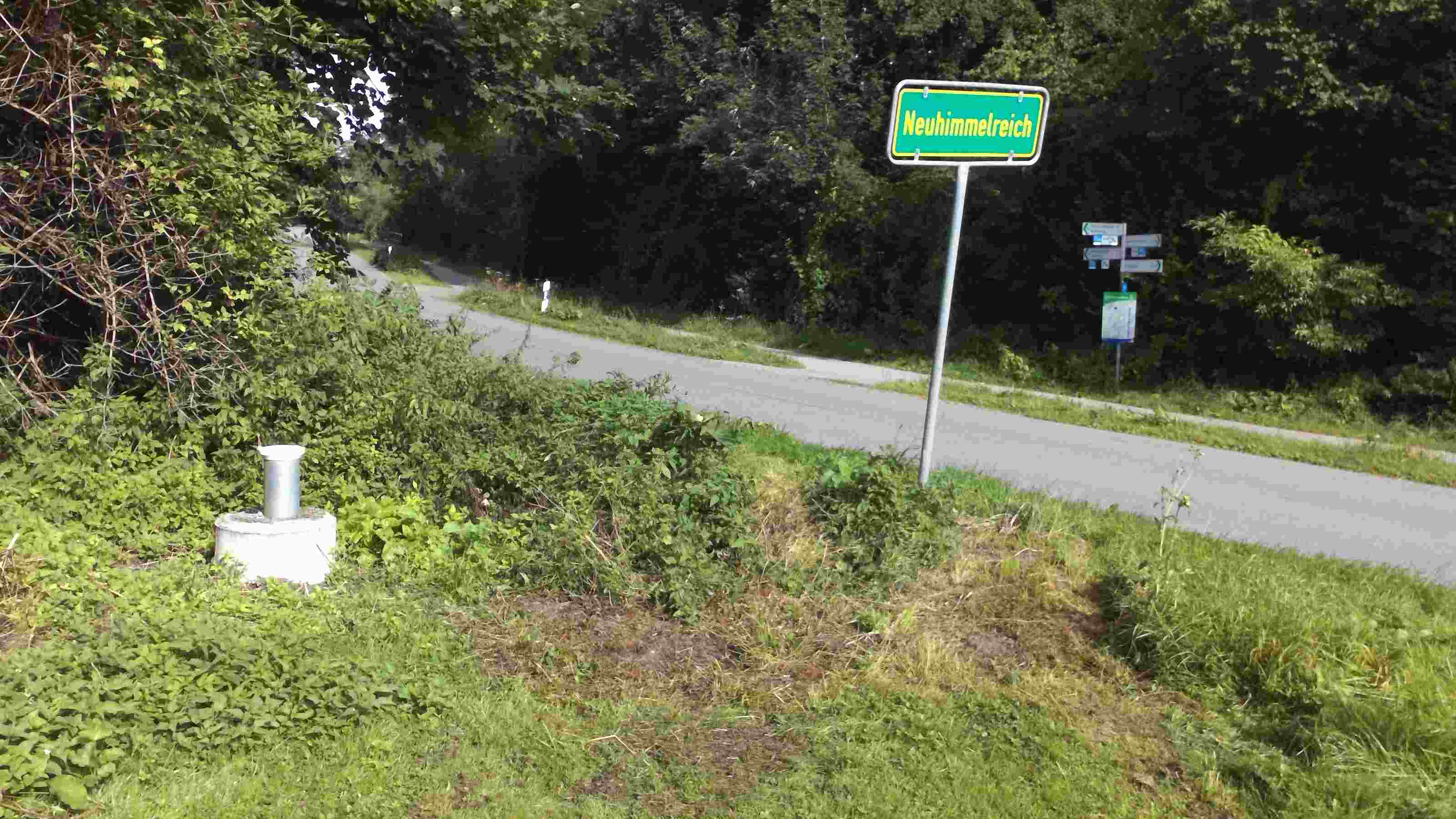
Picture of the measurement site
Location of the station HWS Amper-Dachau GWM 2
| Measurement site | Category |
|---|---|
 Blumenthal Blumenthal | Rivers: Runoff, Waterlevel |
| Thalmannsdorf | Rivers: Runoff, Waterlevel |
| München | Rivers: Runoff, Waterlevel, Water temperature, Water temperature |
| München (virtuell) | Rivers: Runoff |