
- Start >
- Groundwater >
- Waterlevel of upper layer >
- Bayern >
- Hochmutting Süd >
- Master data

Master data Hochmutting Süd
Site number: 16273
Measuring point system: Grundnetz
Community: Oberschleißheim
District: München
Operator:  Wasserwirtschaftsamt München
Aquifer: Quartär
Measurement site depth under ground: 18.28 m
Ground level: 491.15 m above sealevel
Easting: 691890 (ETRS89 / UTM Zone 32N)
Northing: 5345057
Observation period: 24.06.2001 to 13.04.2026
Hauptwerte (Tagesmittelwerte):
Maximum waterlevel (HHW): 483.68 m above sealevel
Mean waterlevel (MW): 482.57 m above sealevel
Minimum waterlevel (NNW): 481.90 m above sealevel
Mean Highest Groundwater Level (MHGW): 483.07 m above sealevel (Period: 01.11.2000 - 01.11.2026)
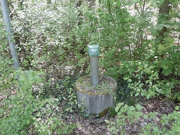
Picture of the measurement site
Location of the station Hochmutting Süd
| Measurement site | Category |
|---|---|
 Thalmannsdorf Thalmannsdorf | Rivers: Runoff, Waterlevel |
| München | Rivers: Runoff, Waterlevel, Water temperature, Water temperature |
| München (virtuell) | Rivers: Runoff |
| Freising | Rivers: Runoff, Waterlevel |