
- Start >
- Groundwater >
- Waterlevel of upper layer >
- Bayern >
- Goßmannsdorf a. Main WÜ >
- Master data

Master data Goßmannsdorf a. Main WÜ
Site number: 27133
Measuring point system: Grundnetz
Community: Ochsenfurt
District: Würzburg
Operator:  Wasserwirtschaftsamt Aschaffenburg
Aquifer: Mittlerer Muschelkalk
Measurement site depth under ground: 65.00 m
Ground level: 210.29 m above sealevel
Easting: 573455 (ETRS89 / UTM Zone 32N)
Northing: 5504208
Observation period: 13.11.2002 to 09.05.2026
Hauptwerte (Tagesmittelwerte):
Maximum waterlevel (HHW): 180.95 m above sealevel
Mean waterlevel (MW): 176.87 m above sealevel
Minimum waterlevel (NNW): 175.14 m above sealevel
Mean Highest Groundwater Level (MHGW): 177.67 m above sealevel (Period: 01.11.2002 - 01.11.2026)
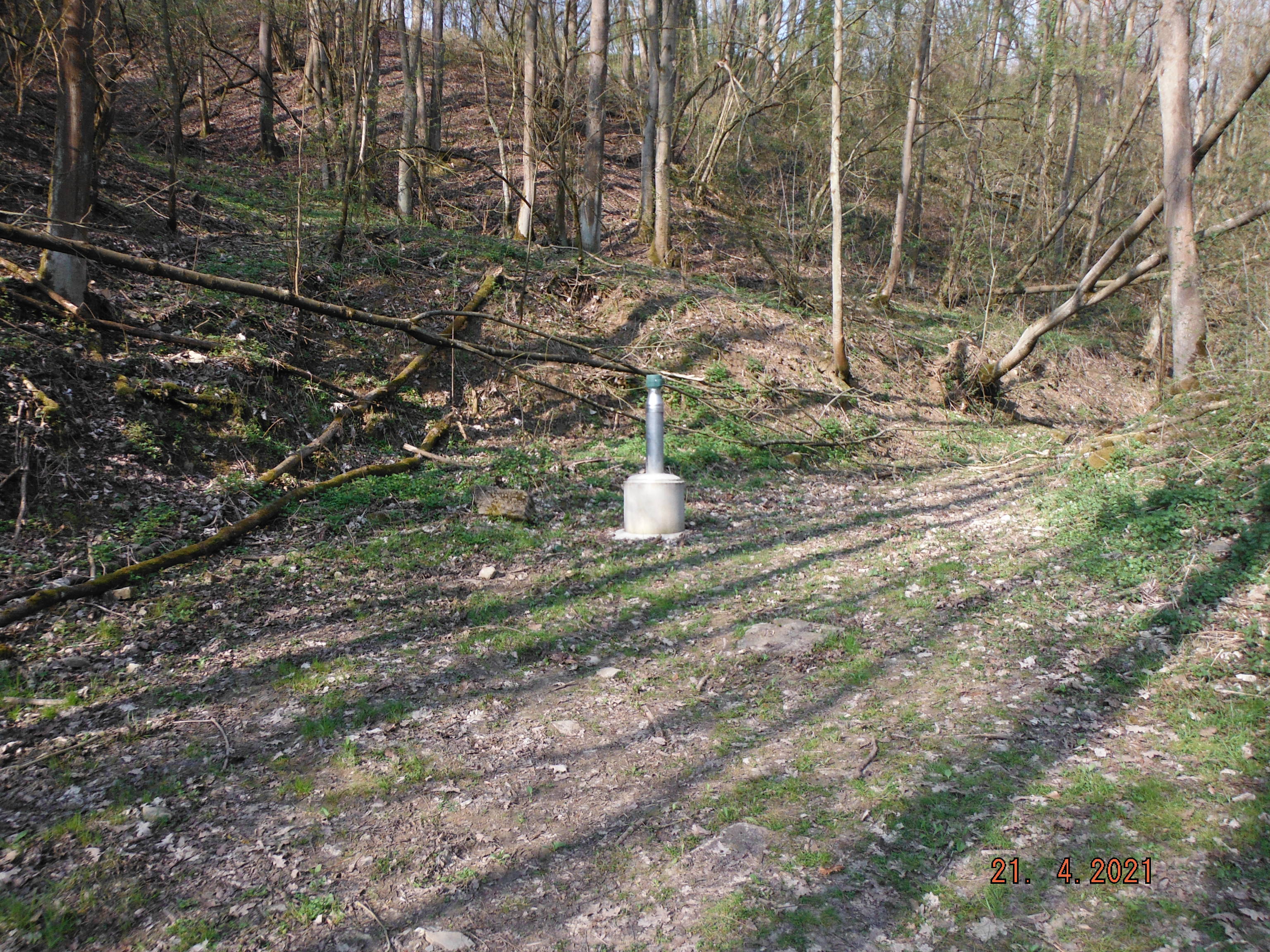
Picture of the measurement site
Location of the station Goßmannsdorf a. Main WÜ
| Measurement site | Category |
|---|---|
 Würzburg Würzburg | Rivers: Runoff, Waterlevel, Water temperature, Water temperature |
| Würzburg Q | Rivers: Runoff |
| Marktbreit | Rivers: Runoff, Waterlevel |
| Würzburg | Rivers: Runoff, Waterlevel |