
Current data Erding-Klettham 1
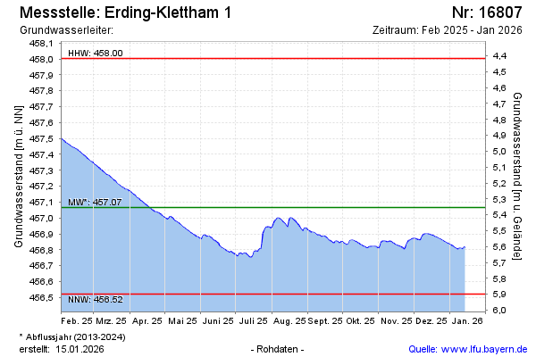
Groundwater level [m above sealevel]: 456.82
Distance to surface [m]: 5.6
Last value from 24.06.2026 09:00
Ground level [m above sealevel]: 462.42
| Date | Groundwater level [m above sealevel] |
|---|---|
| 29.06.2026 | 456.79 |
| 28.06.2026 | 456.79 |
| 27.06.2026 | 456.80 |
| 26.06.2026 | 456.81 |
| 25.06.2026 | 456.81 |
| 24.06.2026 | 456.82 |
| 23.06.2026 | 456.82 |
| 22.06.2026 | 456.83 |