
- Start >
- Groundwater >
- Waterlevel of upper layer >
- Bayern >
- Buchloe Gabriel B1 >
- Master data

Master data Buchloe Gabriel B1
Site number: 13144
Measuring point system: Messstelle Dritter
Community: Buchloe
District: Ostallgäu
Operator:  Wasserwirtschaftsamt Kempten
Aquifer: Quartär
Measurement site depth under ground: 11.30 m
Ground level: 615.08 m above sealevel
Easting: 626628 (ETRS89 / UTM Zone 32N)
Northing: 5321035
Observation period: 09.03.2001 to 13.09.2011
Hauptwerte (Tagesmittelwerte):
Maximum waterlevel (HHW): 613.06 m above sealevel
Mean waterlevel (MW): 611.16 m above sealevel
Minimum waterlevel (NNW): 609.32 m above sealevel
Mean Highest Groundwater Level (MHGW): 611.98 m above sealevel (Period: 01.11.2000 - 01.11.2011)
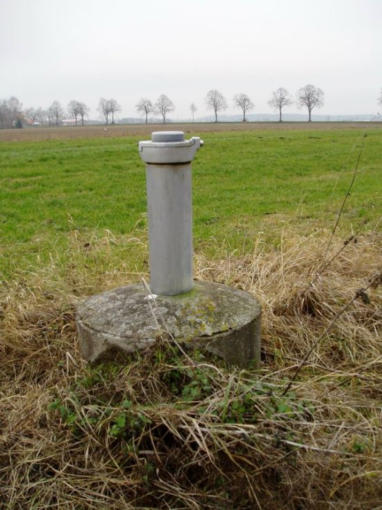
Picture of the measurement site
Location of the station Buchloe Gabriel B1
| Measurement site | Category |
|---|---|
 Dirlewang HRB Abfluss Dirlewang HRB Abfluss | Rivers: Runoff |
| Zaisertshofen | Rivers: Runoff, Waterlevel |
| Landsberg | Rivers: Runoff, Waterlevel |
| Unterbergen | Rivers: Runoff, Waterlevel |