
- Start >
- Groundwater >
- Waterlevel of upper layer >
- Bayern >
- Birnfeld (tief) kmM 1 >
- Master data

Master data Birnfeld (tief) kmM 1
Site number: 22160
Measuring point system: Staatliches Sondernetz
Community: Stadtlauringen
District: Schweinfurt
Operator:  Wasserwirtschaftsamt Bad Kissingen
Aquifer: Sonstige GwLeiter (allg.)
Measurement site depth under ground: --
Ground level: 318.35 m above sealevel
Easting: 601747 (ETRS89 / UTM Zone 32N)
Northing: 5561149
Observation period: 20.02.2025 to 07.03.2026
Hauptwerte (Tagesmittelwerte):
Maximum waterlevel (HHW): 314.61 m above sealevel
Mean waterlevel (MW): 313.81 m above sealevel
Minimum waterlevel (NNW): 313.38 m above sealevel
Mean Highest Groundwater Level (MHGW): 314.26 m above sealevel (Period: 01.11.2024 - 01.11.2026)
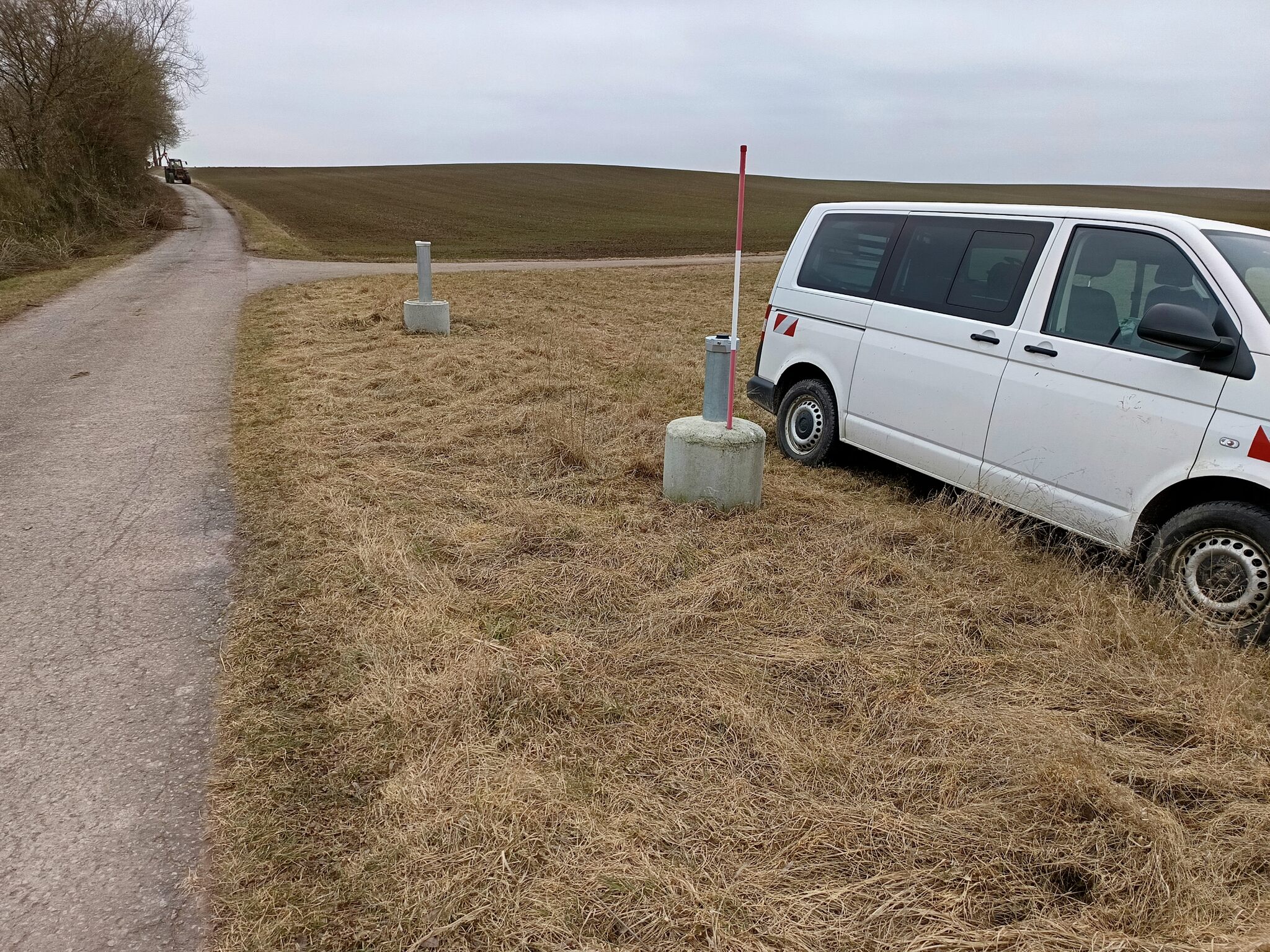
Picture of the measurement site
Location of the station Birnfeld (tief) kmM 1
| Measurement site | Category |
|---|---|
 Schweinfurt Neuer Hafen Schweinfurt Neuer Hafen | Rivers: Runoff, Waterlevel, Water temperature, Water temperature |
| Römershofen | Rivers: Runoff, Waterlevel, Water temperature, Water temperature |
| Bad Königshofen im Grabfeld | Rivers: Runoff, Waterlevel |
| Salz | Rivers: Runoff, Waterlevel, Water temperature, Water temperature |