
- Start >
- Groundwater >
- Waterlevel of upper layer >
- Bayern >
- Bernreut B11 >
- Master data

Master data Bernreut B11
Site number: 23675
Measuring point system: Staatliches Sondernetz
Community: Kirchanschöring
District: Traunstein
Operator:  Wasserwirtschaftsamt Traunstein
Aquifer: Moräne
Measurement site depth under ground: 5.80 m
Ground level: 446.63 m above sealevel
Easting: 785670 (ETRS89 / UTM Zone 32N)
Northing: 5316904
Observation period: 05.02.2024 to 05.03.2026
Hauptwerte (Tagesmittelwerte):
Maximum waterlevel (HHW): 444.21 m above sealevel
Mean waterlevel (MW): 442.76 m above sealevel
Minimum waterlevel (NNW): 440.77 m above sealevel
Mean Highest Groundwater Level (MHGW): 443.15 m above sealevel (Period: 01.11.2023 - 01.11.2026)
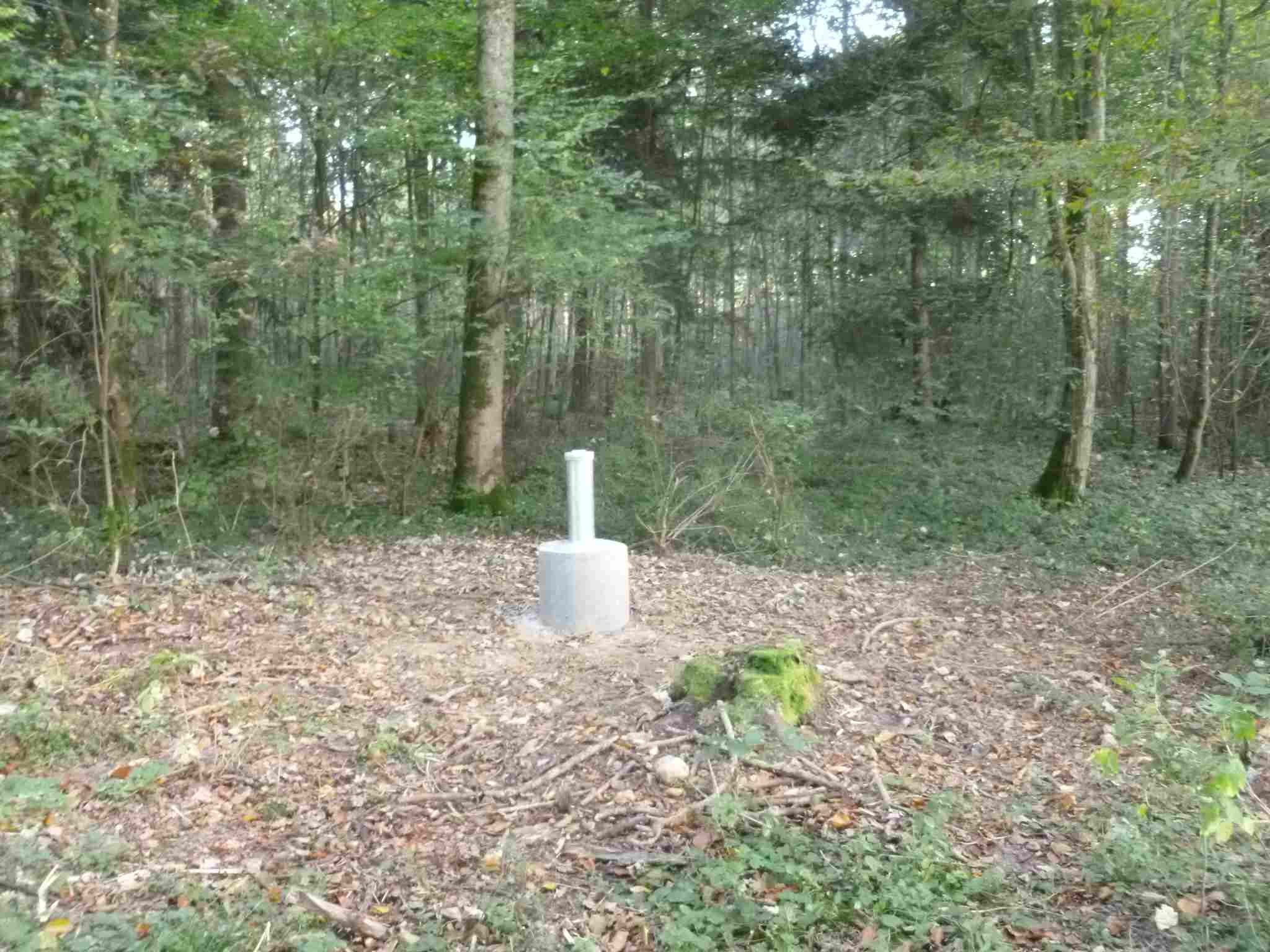
Picture of the measurement site
Location of the station Bernreut B11
| Measurement site | Category |
|---|---|
 Burgkirchen Burgkirchen | Rivers: Runoff, Waterlevel, Water temperature, Water temperature |
| Burgkirchen (virtuell) | Rivers: Runoff |
| Gufflham | Rivers: Runoff, Waterlevel |
| Hochberg | Rivers: Runoff, Waterlevel |