
- Start >
- Groundwater >
- Waterlevel of upper layer >
- Bayern >
- Bad Feilnbach GwM 20-02 >
- Master data

Master data Bad Feilnbach GwM 20-02
Site number: 21155
Measuring point system: Verdichtungsnetz
Community: Bad Feilnbach
District: Rosenheim
Operator:  Wasserwirtschaftsamt Rosenheim
Aquifer:
Measurement site depth under ground: --
Ground level: 509.82 m above sealevel
Easting: 725006 (ETRS89 / UTM Zone 32N)
Northing: 5296025
Observation period: 20.02.2020 to 14.04.2026
Hauptwerte (Tagesmittelwerte):
Maximum waterlevel (HHW): 496.84 m above sealevel
Mean waterlevel (MW): 491.18 m above sealevel
Minimum waterlevel (NNW): 488.74 m above sealevel
Mean Highest Groundwater Level (MHGW): 494.60 m above sealevel (Period: 01.11.2019 - 01.11.2026)
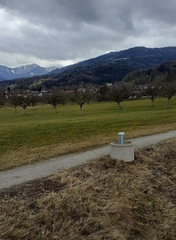
Picture of the measurement site
Location of the station Bad Feilnbach GwM 20-02
| Measurement site | Category |
|---|---|
 Oberaudorf Oberaudorf | Rivers: Runoff, Waterlevel, Water temperature, Water temperature |
| Rosenheim o.d. Mangfallmündung | Rivers: Runoff, Waterlevel, Water temperature, Water temperature, Suspended sediment |
| Bleyerbrücke | Rivers: Runoff, Waterlevel |
| Bad Trißl | Rivers: Runoff, Waterlevel |