
- Start >
- Groundwater >
- Waterlevel of upper layer >
- Bayern >
- ADLFURT R 27 >
- Current data

Current data ADLFURT R 27
Groundwater levels of the last 12 months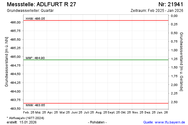
note
Die Messstelle wird nicht mehr beobachtet.
Groundwater level [m above sealevel]: 484.96
Distance to surface [m]: 1.23
Last value from 13.05.2025 10:00
Ground level [m above sealevel]: 486.19
| Date | Groundwater level [m above sealevel] |
|---|---|
| 10.10.2024 | 485.21 |
| 13.05.2024 | 484.90 |
| 11.10.2023 | 483.65 |
| 02.05.2023 | 485.03 |
| 07.10.2022 | 485.03 |
| 05.05.2022 | 484.78 |
| 07.10.2021 | 485.00 |
| 11.05.2021 | 485.05 |
© Bayerisches Landesamt für Umwelt 2026