
- Start >
- Groundwater >
- Temperature of springs >
- Unterer Main >
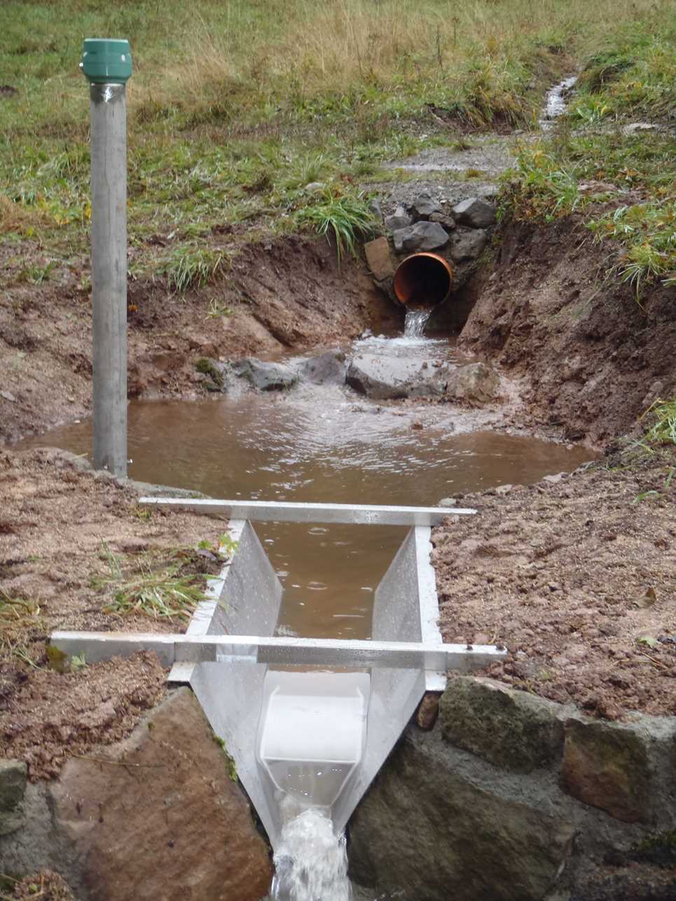
- Waldbrunnen 2/3 >
- Master data

Master data Waldbrunnen 2/3
Site number: 22502
Measuring point system: Grundnetz
Community: Geroda
District: Bad Kissingen
Measurement data provided by:  Wasserwirtschaftsamt Bad Kissingen
Aquifer: Oberer Buntsandstein
Ground level: 560.00 m above sealevel
Easting: 564613 (ETRS89 / UTM Zone 32N)
Northing: 5572149
Observation period: 10.09.2021 to 07.12.2025
Maximum watertemperature: 12.10 °C
Mean watertemperature: 8.41 °C
Minimum watertemperature: 4.44 °C
Picture of the measurement site
© Bayerisches Landesamt für Umwelt 2025