
- Start >
- Groundwater >
- Flow of springs >
- Isar >
- Quelle 2 Bayersoien >
- Master data

Master data Quelle 2 Bayersoien
Site number: 25550
Measuring point system: Grundnetz
Community: Bad Bayersoien
District: Garmisch-Partenkirchen
Measurement data provided by:  Wasserwirtschaftsamt Weilheim
Aquifer: Moräne
Ground level: 800.00 m above sealevel
Easting: 650492 (ETRS89 / UTM Zone 32N)
Northing: 5283569
Observation period: 25.08.2011 to 06.12.2025
Hauptwerte (Tagesmittelwerte):
Maximum flow: 5.21 l/s
Mean flow: 1.85 l/s
Minimum flow: 0.31 l/s
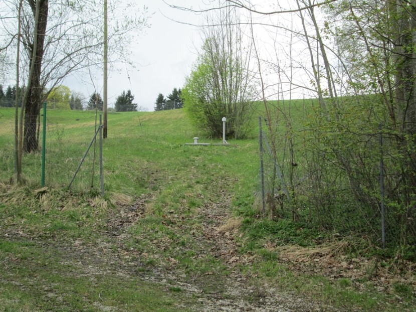
Picture of the measurement site
Location of the station Quelle 2 Bayersoien
| Measurement site | Category |
|---|---|
 Lechbruck Lechbruck | Rivers: Runoff, Waterlevel |
| Trauchgau | Rivers: Runoff, Waterlevel |
| Trauchgau | Rivers: Runoff, Waterlevel |
| Engen | Rivers: Runoff, Waterlevel, Water temperature, Water temperature |
© Bayerisches Landesamt für Umwelt 2025