
- Start >
- Groundwater >
- Flow of springs >
- Isar >
- Mühlthal >
- Master data

Master data Mühlthal
Site number: 16514
Measuring point system: Grundnetz
Community: Straßlach-Dingharting
District: München
Measurement data provided by:  Wasserwirtschaftsamt München
Aquifer: Quartär
Ground level: --
Easting: 685741 (ETRS89 / UTM Zone 32N)
Northing: 5318805
Observation period: 24.10.2014 to 13.04.2026
Hauptwerte (Tagesmittelwerte):
Maximum flow: 16.73 l/s
Mean flow: 9.45 l/s
Minimum flow: 2.60 l/s
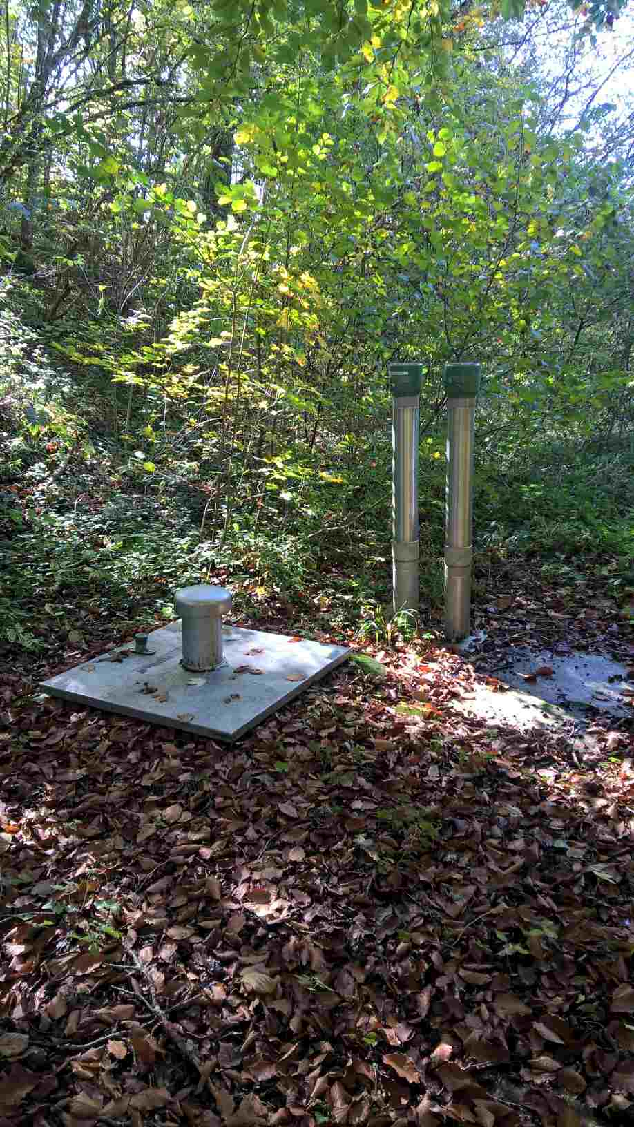
Picture of the measurement site
Location of the station Mühlthal
| Measurement site | Category |
|---|---|
 Bad Tölz KW Bad Tölz KW | Rivers: Runoff |
| Puppling | Rivers: Runoff, Waterlevel, Water temperature, Water temperature, Suspended sediment |
| München | Rivers: Runoff, Waterlevel, Water temperature, Water temperature |
| München (virtuell) | Rivers: Runoff |
© Bayerisches Landesamt für Umwelt 2026