
- Start >
- Groundwater >
- Flow of springs >
- Oberer Main - Elbe >
- VILSQU.,KLEINSCHOENBR. >
- Master data

Master data VILSQU.,KLEINSCHOENBR.
Site number: 2501
Measuring point system: Grundnetz
Community: Freihung
District: Amberg-Sulzbach
Measurement data provided by:  Wasserwirtschaftsamt Weiden
Aquifer: Kreide-Sandsteine
Ground level: 455.00 m above sealevel
Easting: 708201 (ETRS89 / UTM Zone 32N)
Northing: 5496174
Observation period: 11.05.1951 to 11.09.2025
Hauptwerte (Tagesmittelwerte):
Maximum flow: 149.97 l/s
Mean flow: 24.14 l/s
Minimum flow: -1.87 l/s
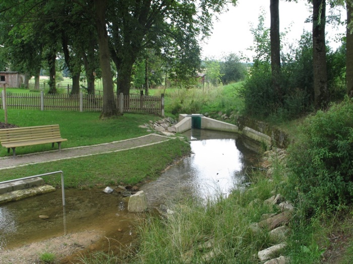
Picture of the measurement site
Location of the station VILSQU.,KLEINSCHOENBR.
| Measurement site | Category |
|---|---|
 Friedersreuth Friedersreuth | Rivers: Runoff, Waterlevel |
| Hammerles | Rivers: Runoff, Waterlevel |
| Unterbruck | Rivers: Runoff, Waterlevel |
| Unterbruck Flutmulde | Rivers: Runoff, Waterlevel |
© Bayerisches Landesamt für Umwelt 2026