
- Start >
- Groundwater >
- Flow of springs >
- Bayern >
- Westheim Brunnen II >
- Master data

Master data Westheim Brunnen II
Site number: 3131
Measuring point system: Grundnetz
Community: Westheim
District: Weißenburg-Gunzenhausen
Measurement data provided by:  Wasserwirtschaftsamt Ansbach
Aquifer: Burg- und Blasensandstein (Sandsteinkeuper)
Ground level: 438.45 m above sealevel
Easting: 621266 (ETRS89 / UTM Zone 32N)
Northing: 5428591
Observation period: - to -
Maximum flow: --
Mean flow: --
Minimum flow: --
Picture of the measurement site
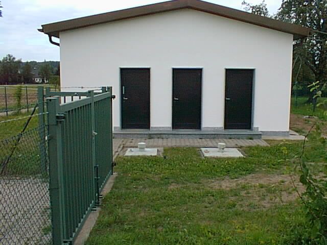
Location of the station Westheim Brunnen II
| Measurement site | Category |
|---|---|
 Gerolfingen Gerolfingen | Rivers: Runoff, Waterlevel |
| Heroldingen | Rivers: Runoff, Waterlevel |
| Lierheim | Rivers: Runoff, Waterlevel |
| Thann | Rivers: Runoff, Waterlevel |
© Bayerisches Landesamt für Umwelt 2024