
- Start >
- Groundwater >
- Flow of springs >
- Bayern >
- Weiding Quelle I >
- Master data

Master data Weiding Quelle I
Site number: 24527
Measuring point system: Grundnetz
Community: Weiding
District: Schwandorf
Measurement data provided by:  Wasserwirtschaftsamt Weiden
Aquifer: Kristallines Grundgebirge
Ground level: 720.00 m above sealevel
Easting: 757322 (ETRS89 / UTM Zone 32N)
Northing: 5486538
Observation period: 10.03.2011 to 02.05.2024
Maximum flow: 3.02 l/s
Mean flow: 1.36 l/s
Minimum flow: 0.66 l/s
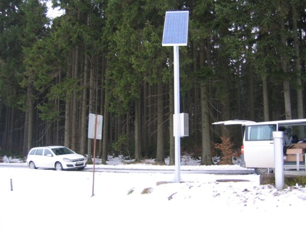
Picture of the measurement site
Location of the station Weiding Quelle I
| Measurement site | Category |
|---|---|
 Höll Höll | Rivers: Runoff, Waterlevel |
| Rötz Speicherzufluss | Rivers: Runoff, Waterlevel |
| Tiefenbach | Rivers: Runoff, Waterlevel |
| Untereppenried | Rivers: Runoff, Waterlevel |
© Bayerisches Landesamt für Umwelt 2024