
- Start >
- Groundwater >
- Flow of springs >
- Bayern >
- SR/GW SPESSART 01 >
- Master data

Master data SR/GW SPESSART 01
Site number: 27991
Measuring point system: Staatliches Sondernetz
Community: --
District: Main-Spessart
Measurement data provided by:  Wasserwirtschaftsamt Aschaffenburg
Aquifer: Mittlerer Buntsandstein
Ground level: 423.84 m above sealevel
Easting: 532084 (ETRS89 / UTM Zone 32N)
Northing: 5527883
Observation period: - to -
Maximum flow: --
Mean flow: --
Minimum flow: --
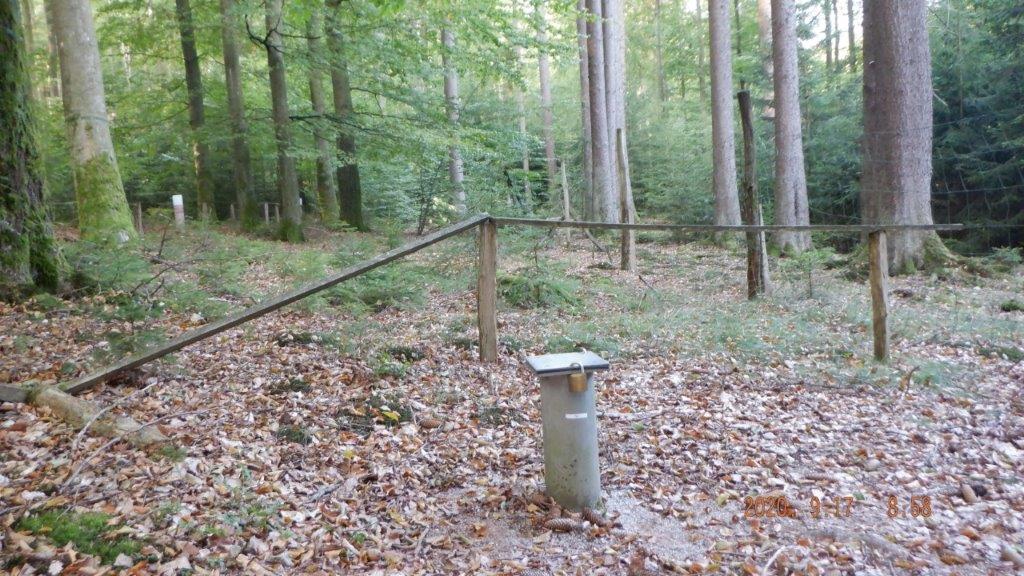
Picture of the measurement site
Location of the station SR/GW SPESSART 01
| Measurement site | Category |
|---|---|
 Frammersbach Frammersbach | Rivers: Runoff, Waterlevel |
| Partenstein | Rivers: Runoff, Waterlevel |
| Hafenlohr | Rivers: Runoff, Waterlevel |
| Weilbach | Rivers: Runoff, Waterlevel |
© Bayerisches Landesamt für Umwelt 2024