
- Start >
- Groundwater >
- Flow of springs >
- Bayern >
- Schlosswaldquellen >
- Master data

Master data Schlosswaldquellen
Site number: 23581
Measuring point system: Grundnetz
Community: Piding
District: Berchtesgadener Land
Measurement data provided by:  Wasserwirtschaftsamt Traunstein
Aquifer: Alpine Gesteine
Ground level: 545.00 m above sealevel
Easting: 791252 (ETRS89 / UTM Zone 32N)
Northing: 5297345
Observation period: 05.01.2011 to 01.09.2024
Maximum flow: 35.20 l/s
Mean flow: 9.45 l/s
Minimum flow: 3.05 l/s
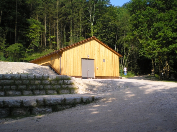
Picture of the measurement site
Location of the station Schlosswaldquellen
| Measurement site | Category |
|---|---|
 Hochberg Hochberg | Rivers: Runoff, Waterlevel |
| Fritz am Sand | Rivers: Runoff, Waterlevel |
| Siegsdorf | Rivers: Runoff, Waterlevel |
| Wernleiten | Rivers: Runoff, Waterlevel |
© Bayerisches Landesamt für Umwelt 2024