
- Start >
- Groundwater >
- Flow of springs >
- Bayern >
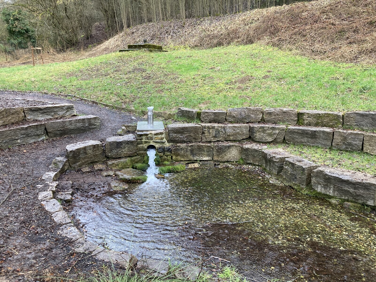
- Quelle Marktsteinach >
- Master data

Master data Quelle Marktsteinach
Site number: 22543
Measuring point system: Grundnetz
Community: Schonungen
District: Schweinfurt
Measurement data provided by:  Wasserwirtschaftsamt Bad Kissingen
Aquifer: Mittlerer Muschelkalk
Ground level: 260.00 m above sealevel
Easting: 596577 (ETRS89 / UTM Zone 32N)
Northing: 5547205
Observation period: 13.04.2016 to 01.04.2024
Maximum flow: 33.79 l/s
Mean flow: 8.50 l/s
Minimum flow: 0.52 l/s
Picture of the measurement site
Location of the station Quelle Marktsteinach
| Measurement site | Category |
|---|---|
 Römershofen Römershofen | Rivers: Runoff, Waterlevel, Water temperature, Water temperature |
| Dingolshausen | Rivers: Runoff, Waterlevel |
| Bad Königshofen im Grabfeld | Rivers: Runoff, Waterlevel |
| Salz | Rivers: Runoff, Waterlevel, Water temperature, Water temperature |
© Bayerisches Landesamt für Umwelt 2024