
- Start >
- Groundwater >
- Flow of springs >
- Bayern >
- Hohenwarth 14/2 >
- Master data

Master data Hohenwarth 14/2
Site number: 20501
Measuring point system: Grundnetz
Community: Hohenwarth
District: Cham
Measurement data provided by:  Wasserwirtschaftsamt Regensburg
Aquifer: Kristallines Grundgebirge
Ground level: 565.00 m above sealevel
Easting: 786468 (ETRS89 / UTM Zone 32N)
Northing: 5456187
Observation period: 01.11.1952 to 06.12.2025
Hauptwerte (Tagesmittelwerte):
Maximum flow: 5.79 l/s
Mean flow: 1.36 l/s
Minimum flow: 0.37 l/s
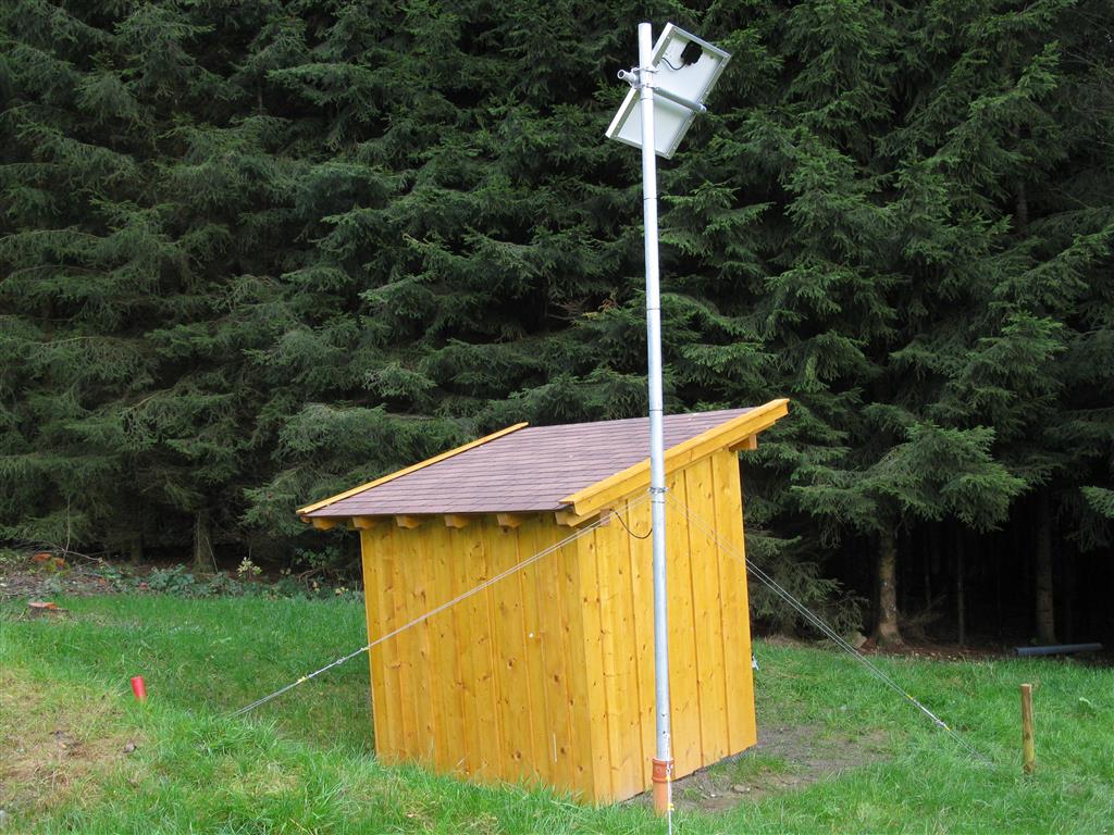
Picture of the measurement site
Location of the station Hohenwarth 14/2
| Measurement site | Category |
|---|---|
 Höll Höll | Rivers: Runoff, Waterlevel |
| Hocha Perlseeabfluss | Rivers: Runoff, Waterlevel |
| Chamerau | Rivers: Runoff, Waterlevel |
| Teisnach | Rivers: Runoff, Waterlevel, Water temperature, Water temperature |
© Bayerisches Landesamt für Umwelt 2025