
- Start >
- Groundwater >
- Flow of springs >
- Bayern >
- Görisried Quelle Nord >
- Master data

Master data Görisried Quelle Nord
Site number: 41574
Measuring point system: Grundnetz
Community: Görisried
District: Ostallgäu
Measurement data provided by:  Wasserwirtschaftsamt Kempten
Aquifer: Moräne
Ground level: --
Easting: 612691 (ETRS89 / UTM Zone 32N)
Northing: 5284372
Observation period: 22.01.2015 to 07.12.2025
Hauptwerte (Tagesmittelwerte):
Maximum flow: 60.77 l/s
Mean flow: 37.22 l/s
Minimum flow: 22.06 l/s
Picture of the measurement site
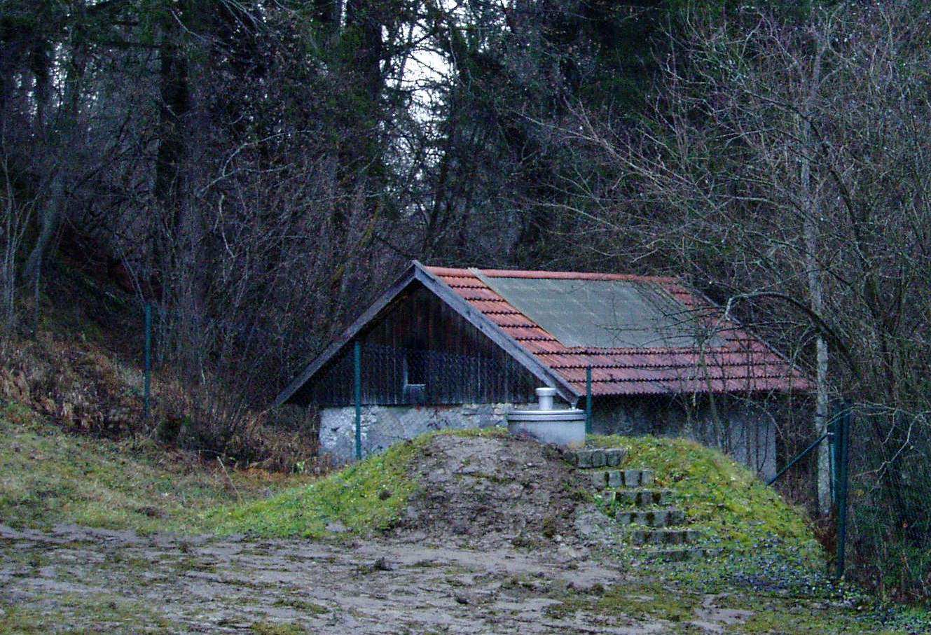
Location of the station Görisried Quelle Nord
| Measurement site | Category |
|---|---|
 Sonthofen Sonthofen | Rivers: Runoff, Waterlevel, Water temperature, Water temperature |
| Kempten | Rivers: Runoff, Waterlevel, Water temperature, Water temperature, Suspended sediment |
| Schöllang | Rivers: Runoff, Waterlevel |
| Reckenberg | Rivers: Runoff, Waterlevel |
© Bayerisches Landesamt für Umwelt 2025