
- Start >
- Groundwater >
- Waterlevel of deep layer >
- Untere Donau >
- LODERBACH TB 878 >
- Master data

Master data LODERBACH TB 878
Site number: 20193
Measuring point system: Grundnetz
Community: Berg b.Neumarkt i.d.OPf.
District: Neumarkt i.d.OPf.
Operator:  Wasserwirtschaftsamt Regensburg
Aquifer: Keuper
Measurement site depth under ground: 298.80 m
Ground level: 438.18 m above sealevel
Easting: 677421 (ETRS89 / UTM Zone 32N)
Northing: 5464623
Observation period: 16.12.1980 to 17.12.2025
Hauptwerte (Tagesmittelwerte):
Maximum waterlevel (HHW): 366.78 m above sealevel
Mean waterlevel (MW): 363.68 m above sealevel
Minimum waterlevel (NNW): 360.51 m above sealevel
Mean Highest Groundwater Level (MHGW): 364.16 m above sealevel (Period: 01.11.1980 - 01.11.2026)
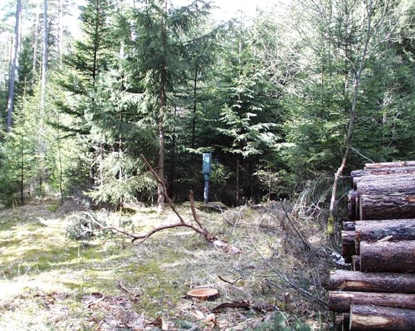
Picture of the measurement site
Location of the station LODERBACH TB 878
| Measurement site | Category |
|---|---|
 Holnstein Holnstein | Rivers: Runoff, Waterlevel |
| Rasch | Rivers: Runoff, Waterlevel |
| Hohenstadt | Rivers: Runoff, Waterlevel |
| Lauf | Rivers: Runoff, Waterlevel |