
- Start >
- Groundwater >
- Waterlevel of deep layer >
- Obere Donau >
- WEIDNITZ 20 >
- Master data

Master data WEIDNITZ 20
Site number: 5157
Measuring point system: Grundnetz
Community: Burgkunstadt
District: Lichtenfels
Operator:  Wasserwirtschaftsamt Kronach
Aquifer: Burg- und Blasensandstein (Sandsteinkeuper)
Measurement site depth under ground: 129.00 m
Ground level: 317.00 m above sealevel
Easting: 659228 (ETRS89 / UTM Zone 32N)
Northing: 5558100
Observation period: 18.06.1997 to 06.03.2026
Hauptwerte (Tagesmittelwerte):
Maximum waterlevel (HHW): 297.61 m above sealevel
Mean waterlevel (MW): 295.63 m above sealevel
Minimum waterlevel (NNW): 294.26 m above sealevel
Mean Highest Groundwater Level (MHGW): 296.08 m above sealevel (Period: 01.11.1996 - 01.11.2026)
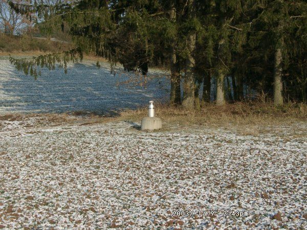
Picture of the measurement site
Location of the station WEIDNITZ 20
| Measurement site | Category |
|---|---|
 Mainleus Mainleus | Rivers: Runoff, Waterlevel, Water temperature, Water temperature |
| Schwürbitz | Rivers: Runoff, Waterlevel, Water temperature, Water temperature |
| Kulmbach | Rivers: Runoff, Waterlevel |
| Unterzettlitz | Rivers: Runoff, Waterlevel |