
- Start >
- Groundwater >
- Waterlevel of deep layer >
- Obere Donau >
- MILCHWERK REGENSBG TB M5B >
- Master data

Master data MILCHWERK REGENSBG TB M5B
Site number: 20604
Measuring point system: Staatliches Sondernetz
Community: Regensburg
District: Regensburg
Operator:  Wasserwirtschaftsamt Regensburg
Aquifer: Weißer Jura / Malmkarst
Measurement site depth under ground: --
Ground level: 339.57 m above sealevel
Easting: 725626 (ETRS89 / UTM Zone 32N)
Northing: 5433550
Observation period: 01.02.1988 to 20.05.2026
Hauptwerte (Tagesmittelwerte):
Maximum waterlevel (HHW): 332.04 m above sealevel
Mean waterlevel (MW): 331.24 m above sealevel
Minimum waterlevel (NNW): 330.54 m above sealevel
Mean Highest Groundwater Level (MHGW): 331.60 m above sealevel (Period: 01.11.1987 - 01.11.2026)
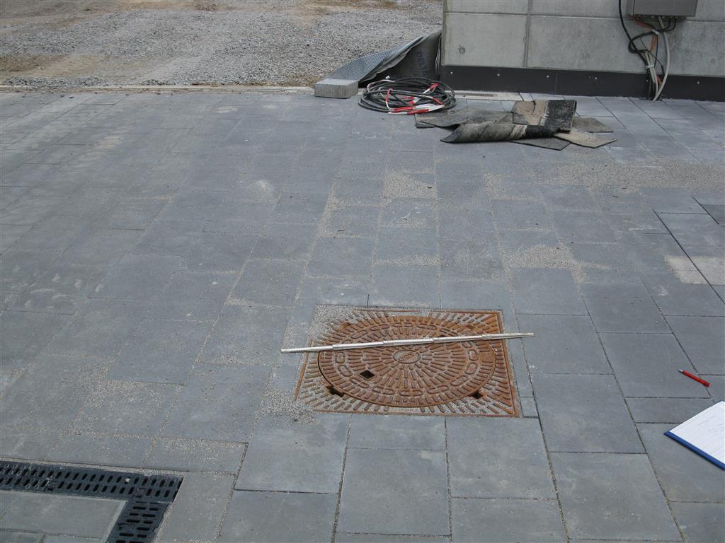
Picture of the measurement site
Location of the station MILCHWERK REGENSBG TB M5B
| Measurement site | Category |
|---|---|
 Kelheim Kelheim | Rivers: Runoff, Waterlevel, Water temperature, Water temperature |
| Kelheimwinzer | Rivers: Runoff, Waterlevel |
| Oberndorf | Rivers: Runoff, Waterlevel, Water temperature, Water temperature |
| Schwabelweis | Rivers: Runoff, Waterlevel, Water temperature, Water temperature |