
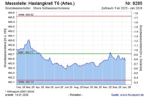
Current data Haslangkreit T6
Groundwater level [m above sealevel]: 432.31
Distance to surface [m]: -0.51999999999998
Last value from 24.06.2026 10:00
Ground level [m above sealevel]: 431.79
| Date | Groundwater level [m above sealevel] |
|---|---|
| 30.06.2026 | 432.18 |
| 29.06.2026 | 432.19 |
| 28.06.2026 | 432.21 |
| 27.06.2026 | 432.24 |
| 26.06.2026 | 432.26 |
| 25.06.2026 | 432.29 |
| 24.06.2026 | 432.31 |
| 23.06.2026 | 432.33 |