
- Start >
- Groundwater >
- Waterlevel of deep layer >
- Bayern >
- VEITSAURACH >
- Master data

Master data VEITSAURACH
Site number: 3119
Measuring point system: Grundnetz
Community: Windsbach
District: Ansbach
Operator:  Wasserwirtschaftsamt Ansbach
Aquifer: Benker Sandstein (Gipskeuper)
Measurement site depth under ground: 108.10 m
Ground level: 373.00 m above sealevel
Easting: 637455 (ETRS89 / UTM Zone 32N)
Northing: 5461137
Observation period: 01.11.1990 to 21.05.2026
Hauptwerte (Tagesmittelwerte):
Maximum waterlevel (HHW): 348.68 m above sealevel
Mean waterlevel (MW): 347.50 m above sealevel
Minimum waterlevel (NNW): 346.14 m above sealevel
Mean Highest Groundwater Level (MHGW): 347.72 m above sealevel (Period: 01.11.1990 - 01.11.2026)
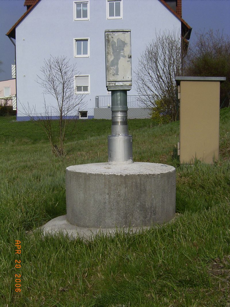
Picture of the measurement site
Location of the station VEITSAURACH
| Measurement site | Category |
|---|---|
 Gunzenhausen Gunzenhausen | Rivers: Runoff |
| Aha | Rivers: Runoff, Waterlevel |
| Unterwurmbach | Rivers: Runoff, Waterlevel |
| Roth Kläranlage | Rivers: Runoff, Waterlevel |