
Current data ROETTENBACH (K-1)
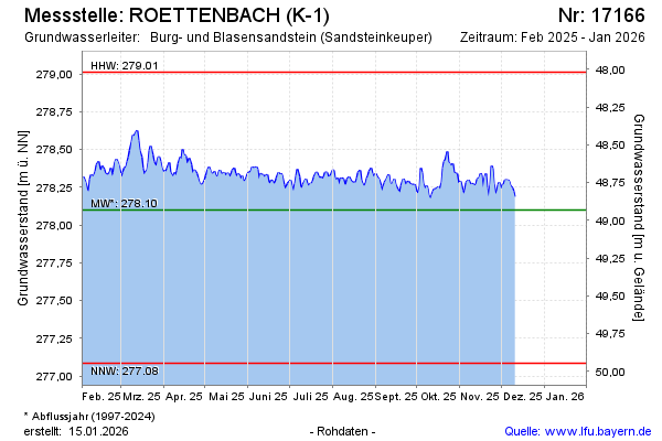
Groundwater level [m above sealevel]: 278.24
Distance to surface [m]: 48.79
Last value from 23.06.2026 13:33
Ground level [m above sealevel]: 327.03
| Date | Groundwater level [m above sealevel] |
|---|---|
| 23.06.2026 | 278.23 |
| 22.06.2026 | 278.22 |
| 21.06.2026 | 278.22 |
| 20.06.2026 | 278.26 |
| 19.06.2026 | 278.29 |
| 18.06.2026 | 278.27 |
| 17.06.2026 | 278.29 |
| 16.06.2026 | 278.31 |