
- Start >
- Groundwater >
- Waterlevel of deep layer >
- Bayern >
- PENZING neu (T-1) >
- Master data

Master data PENZING neu (T-1)
Site number: 25181
Measuring point system: Grundnetz
Community: Penzing
District: Landsberg am Lech
Operator:  Wasserwirtschaftsamt Weilheim
Aquifer: Tertiär
Measurement site depth under ground: 95.80 m
Ground level: 606.49 m above sealevel
Easting: 645455 (ETRS89 / UTM Zone 32N)
Northing: 5326124
Observation period: 09.06.1998 to 22.05.2026
Hauptwerte (Tagesmittelwerte):
Maximum waterlevel (HHW): 569.98 m above sealevel
Mean waterlevel (MW): 569.11 m above sealevel
Minimum waterlevel (NNW): 568.24 m above sealevel
Mean Highest Groundwater Level (MHGW): 569.26 m above sealevel (Period: 01.11.1997 - 01.11.2026)
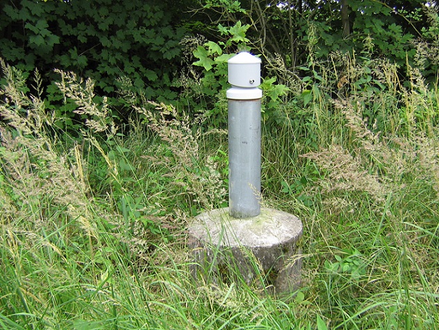
Picture of the measurement site
Location of the station PENZING neu (T-1)
| Measurement site | Category |
|---|---|
 Landsberg Landsberg | Rivers: Runoff, Waterlevel |
| Haunstetten | Rivers: Runoff, Waterlevel |
| Unterbergen | Rivers: Runoff, Waterlevel |
| Buchloe | Rivers: Runoff, Waterlevel |