
- Start >
- Groundwater >
- Waterlevel of deep layer >
- Bayern >
- Hochmutting T 1t >
- Master data

Master data Hochmutting T 1t
Site number: 16802
Measuring point system: Grundnetz
Community: Oberschleißheim
District: München
Operator:  Wasserwirtschaftsamt München
Aquifer: Obere Süßwassermolasse
Measurement site depth under ground: 76.00 m
Ground level: 490.00 m above sealevel
Easting: 691142 (ETRS89 / UTM Zone 32N)
Northing: 5345274
Observation period: 26.09.2010 to 23.05.2026
Hauptwerte (Tagesmittelwerte):
Maximum waterlevel (HHW): 479.42 m above sealevel
Mean waterlevel (MW): 478.74 m above sealevel
Minimum waterlevel (NNW): 478.35 m above sealevel
Mean Highest Groundwater Level (MHGW): 479.02 m above sealevel (Period: 01.11.2009 - 01.11.2026)
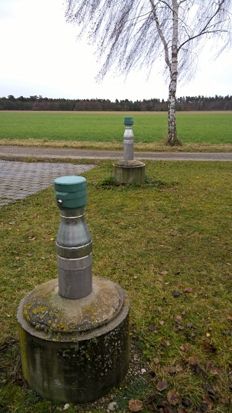
Picture of the measurement site
Location of the station Hochmutting T 1t
| Measurement site | Category |
|---|---|
 Thalmannsdorf Thalmannsdorf | Rivers: Runoff, Waterlevel |
| München | Rivers: Runoff, Waterlevel, Water temperature, Water temperature |
| München (virtuell) | Rivers: Runoff |
| Freising | Rivers: Runoff, Waterlevel |