
- Start >
- Groundwater >
- Waterlevel of deep layer >
- Bayern >
- Gefäll S4 >
- Master data

Master data Gefäll S4
Site number: 22156
Measuring point system: Grundnetz
Community: Burkardroth
District: Bad Kissingen
Operator:  Wasserwirtschaftsamt Bad Kissingen
Aquifer: Buntsandstein
Measurement site depth under ground: 130.00 m
Ground level: 319.94 m above sealevel
Easting: 571278 (ETRS89 / UTM Zone 32N)
Northing: 5573220
Observation period: 05.07.2010 to 29.05.2026
Hauptwerte (Tagesmittelwerte):
Maximum waterlevel (HHW): 313.88 m above sealevel
Mean waterlevel (MW): 311.20 m above sealevel
Minimum waterlevel (NNW): 309.15 m above sealevel
Mean Highest Groundwater Level (MHGW): 312.55 m above sealevel (Period: 01.11.2009 - 01.11.2026)
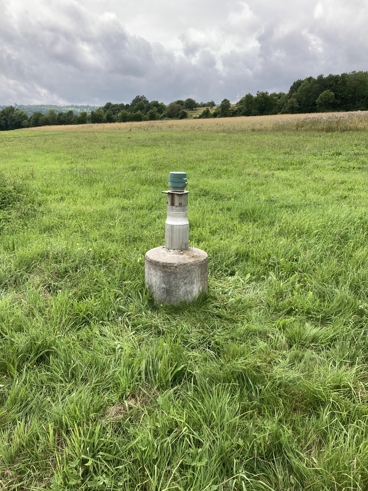
Picture of the measurement site
Location of the station Gefäll S4
| Measurement site | Category |
|---|---|
 Salz Salz | Rivers: Runoff, Waterlevel, Water temperature, Water temperature |
| Bad Kissingen Golfplatz | Rivers: Runoff, Waterlevel |
| Nordheim vor der Rhön | Rivers: Runoff, Waterlevel |
| Wechterswinkel | Rivers: Runoff, Waterlevel |