
- Start >
- Groundwater >
- Waterlevel of deep layer >
- Bayern >
- Erkheim T17 >
- Master data

Master data Erkheim T17
Site number: 13149
Measuring point system: Grundnetz
Community: Erkheim
District: Unterallgäu
Operator:  Wasserwirtschaftsamt Kempten
Aquifer: Obere Süßwassermolasse
Measurement site depth under ground: 140.00 m
Ground level: 604.18 m above sealevel
Easting: 600639 (ETRS89 / UTM Zone 32N)
Northing: 5323858
Observation period: 30.06.2013 to 20.05.2026
Hauptwerte (Tagesmittelwerte):
Maximum waterlevel (HHW): 565.94 m above sealevel
Mean waterlevel (MW): 565.07 m above sealevel
Minimum waterlevel (NNW): 564.03 m above sealevel
Mean Highest Groundwater Level (MHGW): 565.38 m above sealevel (Period: 01.11.2012 - 01.11.2026)
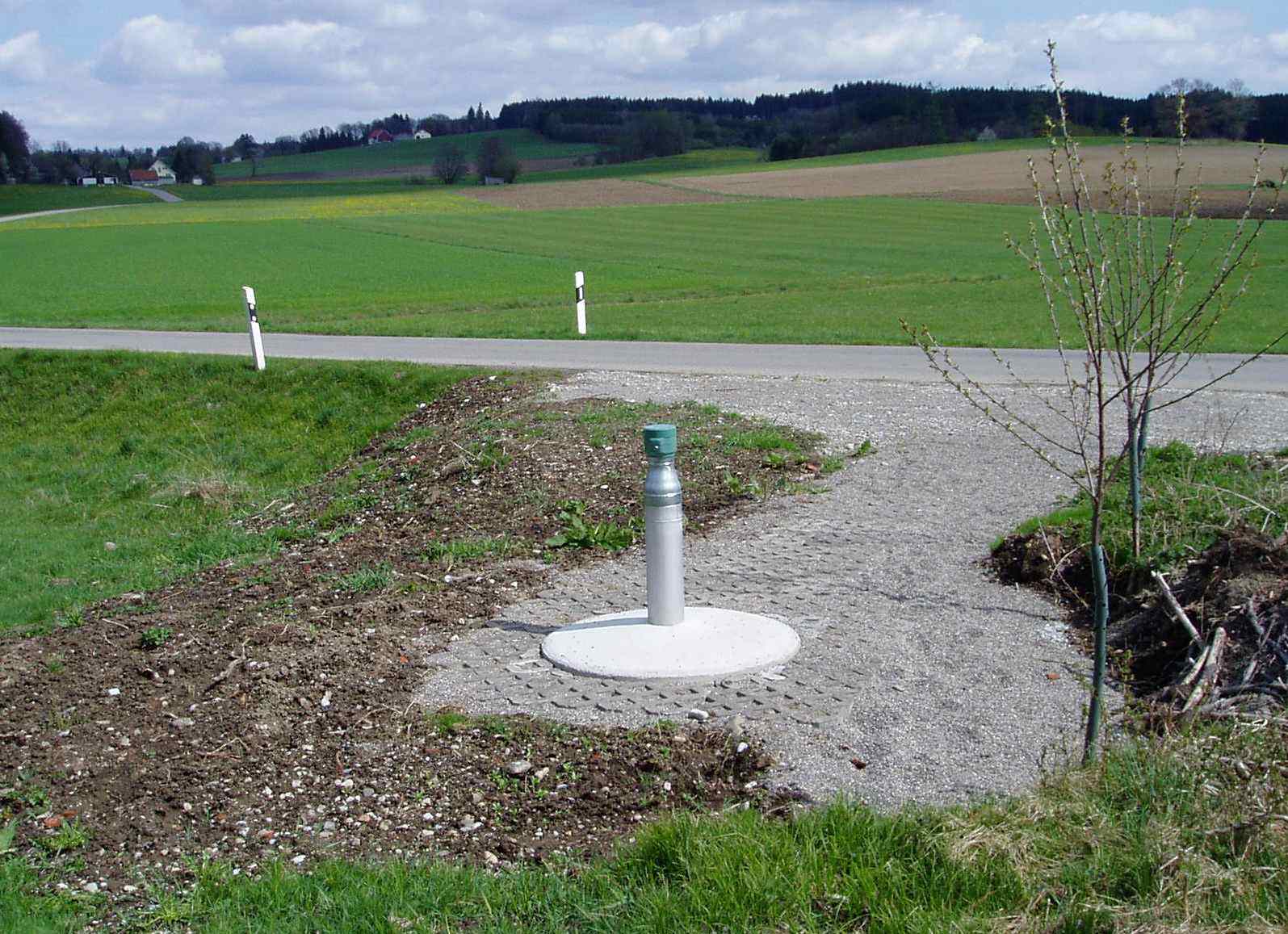
Picture of the measurement site
Location of the station Erkheim T17
| Measurement site | Category |
|---|---|
 Aitrach KW Aitrach KW | Rivers: Runoff |
| Ferthofen | Rivers: Runoff |
| Egelsee | Rivers: Runoff, Waterlevel |
| Heimertingen | Rivers: Runoff, Waterlevel |