
- Start >
- Lakes >
- Waterlevel >
- Bayern >
- Ofenwaldsperre Seepegel >
- Master data

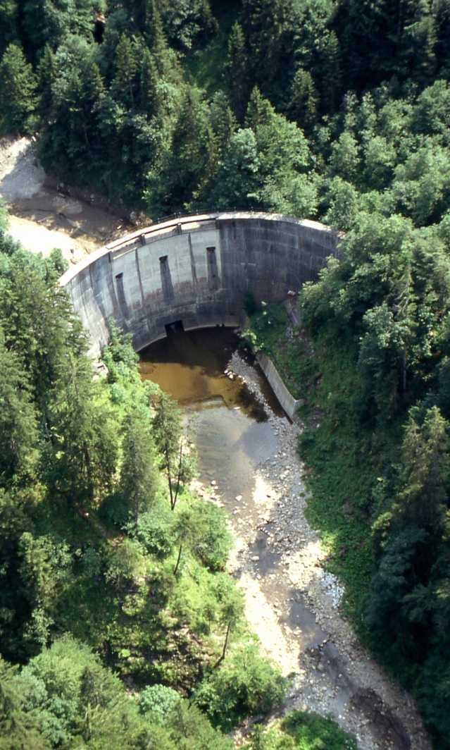
Master data Ofenwaldsperre Seepegel
Site number: 11427300
District: Oberallgäu
Operator:  Wasserwirtschaftsamt Kempten
Body of water: Ofenwaldsperre
Catchment: 15.80 km2
River chainage: 0.00 km
Easting: 599724 (ETRS89 / UTM Zone 32N)
Northing: 5265578
Gauge zero point: 923.45 m above sealevel
Picture of the measurement site
Location of the station Ofenwaldsperre Seepegel / Ofenwaldsperre
| Measurement site | Category |
|---|---|
 Sonthofen Sonthofen | Rivers: Runoff, Waterlevel, Water temperature, Water temperature |
| Kempten | Rivers: Runoff, Waterlevel, Water temperature, Water temperature, Suspended sediment |
| Birgsau | Rivers: Runoff, Waterlevel |
| Oberstdorf | Rivers: Runoff, Waterlevel |
© Bayerisches Landesamt für Umwelt 2024