
- Start >
- Groundwater >
- Flow of springs >
- Bayern >
- Schwalbquelle Gosheim >
- Master data

Master data Schwalbquelle Gosheim
Site number: 8501
Measuring point system: Grundnetz
Community: --
District: Donau-Ries
Measurement data provided by:  Wasserwirtschaftsamt Donauwörth
Aquifer: Weißer Jura / Malmkarst
Ground level: 433.00 m above sealevel
Easting: 626502 (ETRS89 / UTM Zone 32N)
Northing: 5411797
Observation period: 05.08.2015 to 26.04.2024
Maximum flow: 27.29 l/s
Mean flow: 18.78 l/s
Minimum flow: 13.39 l/s
Picture of the measurement site
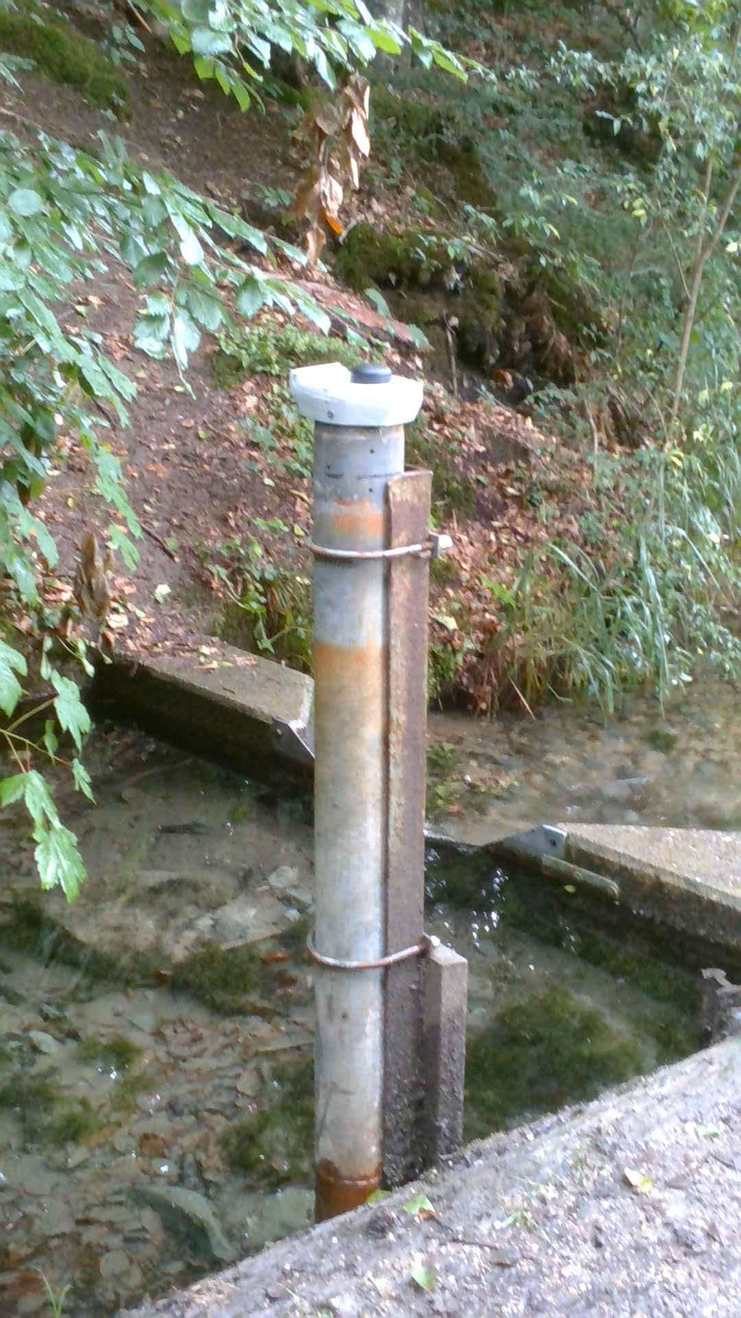
Location of the station Schwalbquelle Gosheim
| Measurement site | Category |
|---|---|
 Donauwörth Donauwörth | Rivers: Runoff, Waterlevel, Water temperature, Water temperature, Suspended sediment |
| Gerolfingen | Rivers: Runoff, Waterlevel |
| Heroldingen | Rivers: Runoff, Waterlevel |
| Lierheim | Rivers: Runoff, Waterlevel |
© Bayerisches Landesamt für Umwelt 2024