
- Start >
- Groundwater >
- Flow of springs >
- Bayern >
- Haslau 2 >
- Master data

Master data Haslau 2
Site number: 21308
Measuring point system: Staatliches Sondernetz
Community: Rottach-Egern
District: Miesbach
Measurement data provided by:  Wasserwirtschaftsamt Rosenheim
Aquifer: Quartär
Ground level: 758.91 m above sealevel
Easting: 710679 (ETRS89 / UTM Zone 32N)
Northing: 5285159
Observation period: - to -
Maximum flow: --
Mean flow: --
Minimum flow: --
Picture of the measurement site
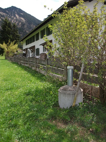
Location of the station Haslau 2
| Measurement site | Category |
|---|---|
 Lenggries Lenggries | Rivers: Runoff, Waterlevel, Water temperature, Water temperature |
| Walchen | Rivers: Runoff, Waterlevel |
| Schmerold | Rivers: Runoff, Waterlevel |
| Valley | Rivers: Runoff, Waterlevel |
© Bayerisches Landesamt für Umwelt 2024