
- Start >
- Groundwater >
- Flow of springs >
- Bayern >
- Hochholz Quellen I-VI >
- Master data

Master data Hochholz Quellen I-VI
Site number: 18520
Measuring point system: Grundnetz
Community: Tiefenbach
District: Passau
Measurement data provided by:  Wasserwirtschaftsamt Deggendorf
Aquifer: Kristallines Grundgebirge
Ground level: 350.00 m above sealevel
Easting: 823719 (ETRS89 / UTM Zone 32N)
Northing: 5394171
Observation period: 22.03.2012 to 26.04.2024
Maximum flow: 4.50 l/s
Mean flow: 2.60 l/s
Minimum flow: 1.45 l/s
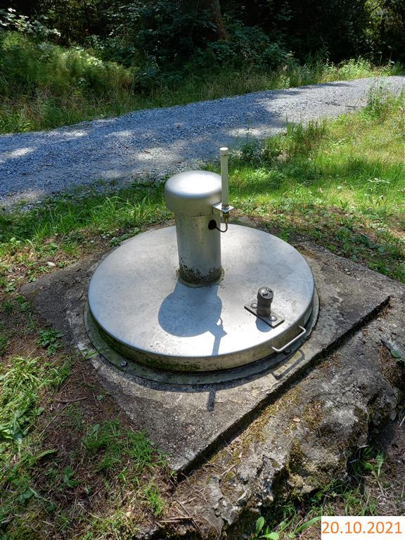
Picture of the measurement site
Location of the station Hochholz Quellen I-VI
| Measurement site | Category |
|---|---|
 Grafenmühle Grafenmühle | Rivers: Runoff, Waterlevel, Water temperature, Water temperature |
| Neustift | Rivers: Runoff, Waterlevel |
| Hörmannsberg | Rivers: Runoff, Waterlevel |
| Schrottenbaummühle | Rivers: Runoff, Waterlevel |
© Bayerisches Landesamt für Umwelt 2024