
- Start >
- Groundwater >
- Flow of springs >
- Bayern >
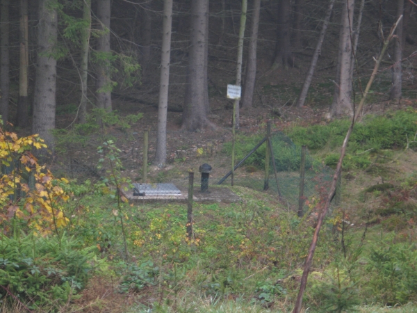
- Stollenfassung Stegenwaldhaus >
- Master data

Master data Stollenfassung Stegenwaldhaus
Site number: 10527
Measuring point system: Grundnetz
Community: Leupoldsgrün
District: Hof
Measurement data provided by:  Wasserwirtschaftsamt Hof
Aquifer: Kristallines Grundgebirge
Ground level: 555.00 m above sealevel
Easting: 699669 (ETRS89 / UTM Zone 32N)
Northing: 5577706
Observation period: 06.10.2010 to 27.04.2024
Maximum flow: 6.70 l/s
Mean flow: 1.76 l/s
Minimum flow: 0.92 l/s
Picture of the measurement site
Location of the station Stollenfassung Stegenwaldhaus
| Measurement site | Category |
|---|---|
 Wirsberg Wirsberg | Rivers: Runoff, Waterlevel |
| Hof | Rivers: Runoff, Waterlevel, Water temperature, Water temperature, Suspended sediment |
| Förmitz Speicherzufluss | Rivers: Runoff, Waterlevel |
| Rehau | Rivers: Runoff, Waterlevel |
© Bayerisches Landesamt für Umwelt 2024