
- Start >
- Groundwater >
- Waterlevel of deep layer >
- Bayern >
- WISSELSDORF T9 >
- Master data

Master data WISSELSDORF T9
Site number: 15201
Measuring point system: Grundnetz
Community: Eichendorf
District: Dingolfing-Landau
Operator:  Wasserwirtschaftsamt Landshut
Aquifer: Tertiär
Measurement site depth under ground: 88.00 m
Ground level: 384.48 m above sealevel
Easting: 780676 (ETRS89 / UTM Zone 32N)
Northing: 5397051
Observation period: 15.01.2009 to 25.04.2024
Maximum waterlevel (HHW): 355.98 m above sealevel
Mean waterlevel (MW): 355.36 m above sealevel
Minimum waterlevel (NNW): 354.84 m above sealevel
Mean Highest Groundwater Level (MHGW): 355.56 m above sealevel (Period: 01.11.2008 - 01.11.2024)
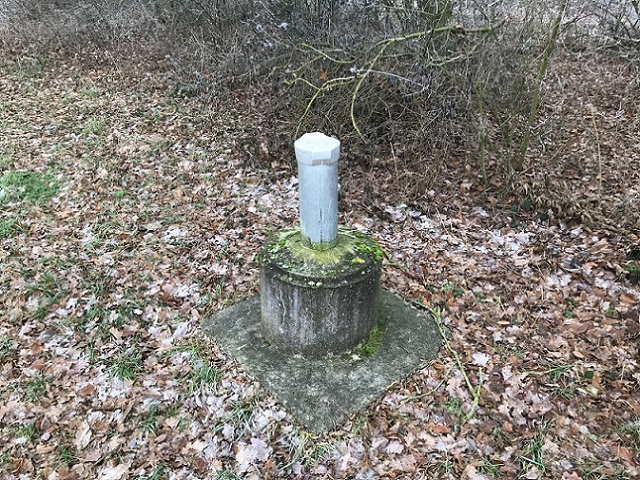
Picture of the measurement site
Location of the station WISSELSDORF T9
| Measurement site | Category |
|---|---|
 Pfelling Pfelling | Rivers: Runoff, Waterlevel |
| Salching | Rivers: Runoff, Waterlevel |
| Haberkofen | Rivers: Runoff, Waterlevel |
| Deggendorf | Rivers: Runoff, Waterlevel |