
- Start >
- Groundwater >
- Waterlevel of upper layer >
- Bayern >
- TABERTSHAUSEN 10/5A >
- Master data

Master data TABERTSHAUSEN 10/5A
Site number: 7696
Measuring point system: Staatliches Sondernetz
Community: Aholming
District: Deggendorf
Operator:  Wasserwirtschaftsamt Deggendorf
Aquifer:
Measurement site depth under ground: 12.00 m
Ground level: 332.45 m above sealevel
Easting: 785468 (ETRS89 / UTM Zone 32N)
Northing: 5404613
Observation period: 04.06.1973 to 02.02.2024
Maximum waterlevel (HHW): 324.51 m above sealevel
Mean waterlevel (MW): 324.12 m above sealevel
Minimum waterlevel (NNW): 323.82 m above sealevel
Mean Highest Groundwater Level (MHGW): 324.27 m above sealevel (Period: 01.11.1972 - 01.11.2024)
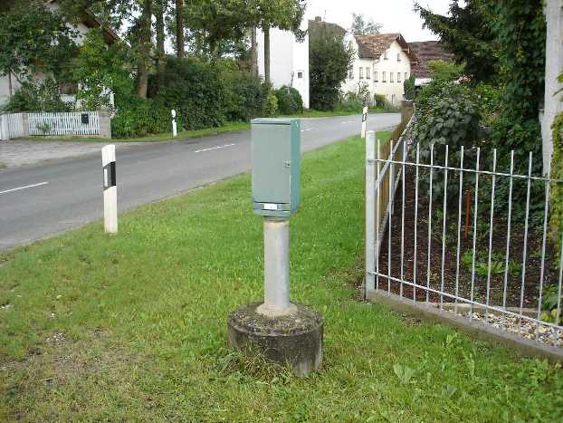
Picture of the measurement site
Location of the station TABERTSHAUSEN 10/5A
| Measurement site | Category |
|---|---|
 Pfelling Pfelling | Rivers: Runoff, Waterlevel |
| Hofkirchen | Rivers: Runoff, Waterlevel |
| Haberkofen | Rivers: Runoff, Waterlevel |
| Deggendorf | Rivers: Runoff, Waterlevel |