
- Start >
- Groundwater >
- Waterlevel of upper layer >
- Bayern >
- PLATTLING 5/14B >
- Master data

Master data PLATTLING 5/14B
Site number: 7651
Measuring point system: Staatliches Sondernetz
Community: Plattling
District: Deggendorf
Operator:  Wasserwirtschaftsamt Deggendorf
Aquifer:
Measurement site depth under ground: 4.61 m
Ground level: 317.11 m above sealevel
Easting: 786813 (ETRS89 / UTM Zone 32N)
Northing: 5409098
Observation period: 05.11.1951 to 31.01.2024
Maximum waterlevel (HHW): 317.02 m above sealevel
Mean waterlevel (MW): 315.62 m above sealevel
Minimum waterlevel (NNW): 314.65 m above sealevel
Mean Highest Groundwater Level (MHGW): 316.19 m above sealevel (Period: 01.11.1950 - 01.11.2024)
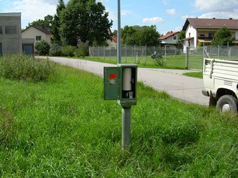
Picture of the measurement site
Location of the station PLATTLING 5/14B
| Measurement site | Category |
|---|---|
 Pfelling Pfelling | Rivers: Runoff, Waterlevel |
| Hofkirchen | Rivers: Runoff, Waterlevel |
| Haberkofen | Rivers: Runoff, Waterlevel |
| Deggendorf | Rivers: Runoff, Waterlevel |