
- Start >
- Groundwater >
- Waterlevel of upper layer >
- Bayern >
- Deggendorf-Fachhochschule >
- Master data

Master data Deggendorf-Fachhochschule
Site number: 42670
Measuring point system: Staatliches Sondernetz
Community: Deggendorf
District: Deggendorf
Operator:  Wasserwirtschaftsamt Deggendorf
Aquifer:
Measurement site depth under ground: 7.65 m
Ground level: 310.80 m above sealevel
Easting: 790110 (ETRS89 / UTM Zone 32N)
Northing: 5416187
Observation period: 19.08.2003 to 19.04.2024
Maximum waterlevel (HHW): 313.30 m above sealevel
Mean waterlevel (MW): 310.56 m above sealevel
Minimum waterlevel (NNW): 309.25 m above sealevel
Mean Highest Groundwater Level (MHGW): 312.58 m above sealevel (Period: 01.11.2002 - 01.11.2024)
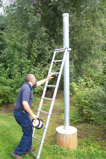
Picture of the measurement site
Location of the station Deggendorf-Fachhochschule
| Measurement site | Category |
|---|---|
 Pfelling Pfelling | Rivers: Runoff, Waterlevel |
| Hofkirchen | Rivers: Runoff, Waterlevel |
| Sägmühle | Rivers: Runoff, Waterlevel |
| Viechtach Reibenmühle | Rivers: Runoff, Waterlevel |