
- Start >
- Groundwater >
- Waterlevel of upper layer >
- Bayern >
- Flussraummanagement Vils, MQS 12-L (ML12) >
- Master data

Master data Flussraummanagement Vils, MQS 12-L (ML12)
Site number: 42126
Measuring point system: Staatliches Sondernetz
Community: --
District: Dingolfing-Landau
Operator:  Wasserwirtschaftsamt Landshut
Aquifer:
Measurement site depth under ground: 5.50 m
Ground level: 365.80 m above sealevel
Easting: 777425 (ETRS89 / UTM Zone 32N)
Northing: 5393286
Observation period: 16.11.2005 to 31.01.2024
Maximum waterlevel (HHW): 364.73 m above sealevel
Mean waterlevel (MW): 363.29 m above sealevel
Minimum waterlevel (NNW): 363.04 m above sealevel
Mean Highest Groundwater Level (MHGW): 363.75 m above sealevel (Period: 01.11.2004 - 01.11.2024)
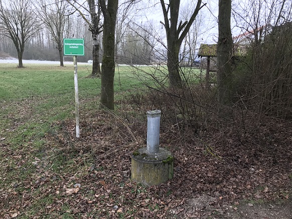
Picture of the measurement site
Location of the station Flussraummanagement Vils, MQS 12-L (ML12)
| Measurement site | Category |
|---|---|
 Pfelling Pfelling | Rivers: Runoff, Waterlevel |
| Salching | Rivers: Runoff, Waterlevel |
| Haberkofen | Rivers: Runoff, Waterlevel |
| Deggendorf | Rivers: Runoff, Waterlevel |