
- Start >
- Groundwater >
- Waterlevel of upper layer >
- Bayern >
- ETTLEBEN 80A >
- Master data

Master data ETTLEBEN 80A
Site number: 22111
Measuring point system: Staatliches Sondernetz
Community: --
District: Schweinfurt
Operator:  Wasserwirtschaftsamt Bad Kissingen
Aquifer: Unterer Keuper
Measurement site depth under ground: 10.00 m
Ground level: 220.94 m above sealevel
Easting: 580643 (ETRS89 / UTM Zone 32N)
Northing: 5537383
Observation period: 03.01.1938 to 26.04.2024
Maximum waterlevel (HHW): 220.01 m above sealevel
Mean waterlevel (MW): 218.20 m above sealevel
Minimum waterlevel (NNW): 217.52 m above sealevel
Mean Highest Groundwater Level (MHGW): 218.67 m above sealevel (Period: 01.11.1937 - 01.11.2024)
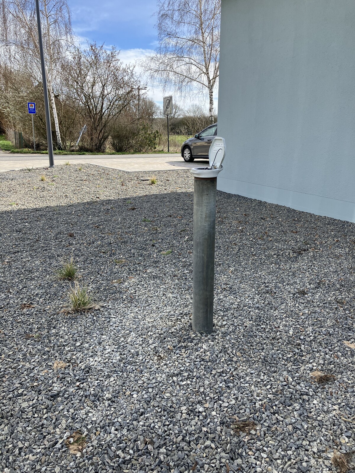
Picture of the measurement site
Location of the station ETTLEBEN 80A
| Measurement site | Category |
|---|---|
 Arnstein Arnstein | Rivers: Runoff, Waterlevel, Water temperature, Water temperature |
| Poppenlauer | Rivers: Runoff, Waterlevel |
| Oberthulba | Rivers: Runoff, Waterlevel |
| Schweinfurt Neuer Hafen | Rivers: Runoff, Waterlevel, Water temperature, Water temperature |