
- Start >
- Groundwater >
- Waterlevel of upper layer >
- Bayern >
- Grafenrheinfeld Wehrspitzweg P3 >
- Master data

Master data Grafenrheinfeld Wehrspitzweg P3
Site number: 22011
Measuring point system: Staatliches Sondernetz
Community: --
District:
Operator:  Wasserwirtschaftsamt Bad Kissingen
Aquifer: Quartär
Measurement site depth under ground: 7.50 m
Ground level: 205.29 m above sealevel
Easting: 585496 (ETRS89 / UTM Zone 32N)
Northing: 5539145
Observation period: 22.03.2002 to 27.04.2024
Maximum waterlevel (HHW): 203.26 m above sealevel
Mean waterlevel (MW): 202.73 m above sealevel
Minimum waterlevel (NNW): 202.46 m above sealevel
Mean Highest Groundwater Level (MHGW): 202.93 m above sealevel (Period: 01.11.2001 - 01.11.2024)
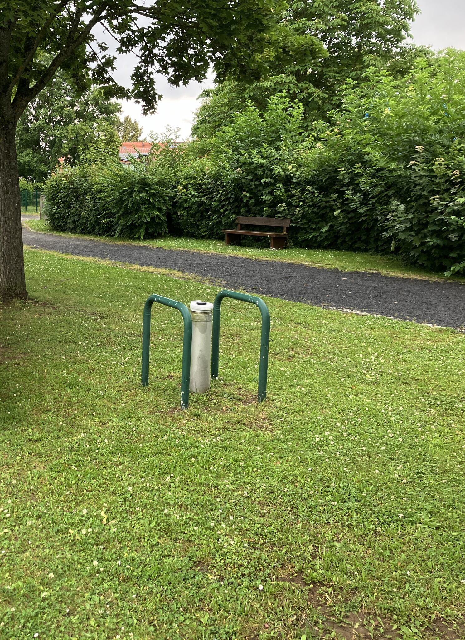
Picture of the measurement site
Location of the station Grafenrheinfeld Wehrspitzweg P3
| Measurement site | Category |
|---|---|
 Dingolshausen Dingolshausen | Rivers: Runoff, Waterlevel |
| Arnstein | Rivers: Runoff, Waterlevel, Water temperature, Water temperature |
| Poppenlauer | Rivers: Runoff, Waterlevel |
| Oberthulba | Rivers: Runoff, Waterlevel |