
- Start >
- Groundwater >
- Waterlevel of upper layer >
- Bayern >
- G33 HRB Feldolling BK60 >
- Master data

Master data G33 HRB Feldolling BK60
Site number: 21329
Measuring point system: Staatliches Sondernetz
Community: --
District: Rosenheim
Operator:  Wasserwirtschaftsamt Rosenheim
Aquifer: Schotterflächen
Measurement site depth under ground: 7.30 m
Ground level: 537.75 m above sealevel
Easting: 712252 (ETRS89 / UTM Zone 32N)
Northing: 5308025
Observation period: 08.02.2016 to 12.10.2022
Maximum waterlevel (HHW): 535.69 m above sealevel
Mean waterlevel (MW): 534.32 m above sealevel
Minimum waterlevel (NNW): 533.92 m above sealevel
Mean Highest Groundwater Level (MHGW): 535.28 m above sealevel (Period: 01.11.2015 - 01.11.2022)
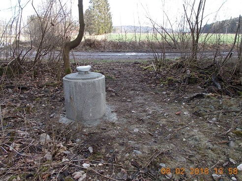
Picture of the measurement site
Location of the station G33 HRB Feldolling BK60
| Measurement site | Category |
|---|---|
 Schmerold Schmerold | Rivers: Runoff, Waterlevel |
| Valley | Rivers: Runoff, Waterlevel |
| Oberach | Rivers: Runoff, Waterlevel, Water temperature, Water temperature |
| Bad Wiessee | Rivers: Runoff, Waterlevel, Water temperature, Water temperature |