
- Start >
- Groundwater >
- Waterlevel of upper layer >
- Bayern >
- Simbach GWM 102 >
- Master data

Master data Simbach GWM 102
Site number: 18693
Measuring point system: Staatliches Sondernetz
Community: --
District:
Operator:  Wasserwirtschaftsamt Deggendorf
Aquifer:
Measurement site depth under ground: --
Ground level: 343.54 m above sealevel
Easting: 798950 (ETRS89 / UTM Zone 32N)
Northing: 5353928
Observation period: 04.09.2021 to 04.10.2023
Maximum waterlevel (HHW): 340.56 m above sealevel
Mean waterlevel (MW): 340.25 m above sealevel
Minimum waterlevel (NNW): 340.20 m above sealevel
Mean Highest Groundwater Level (MHGW): 340.39 m above sealevel (Period: 01.11.2020 - 01.11.2023)
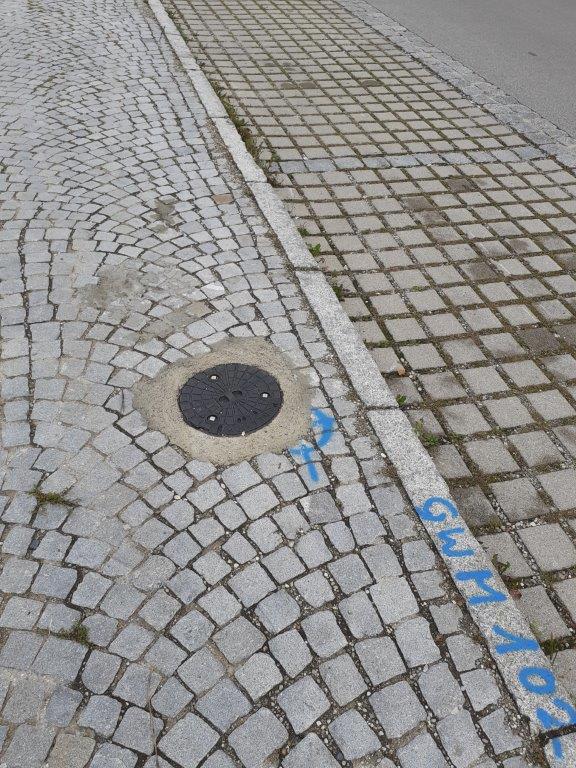
Picture of the measurement site
Location of the station Simbach GWM 102
| Measurement site | Category |
|---|---|
 Burghausen Burghausen | Rivers: Runoff, Waterlevel |
| Simbach | Rivers: Runoff, Waterlevel |
| Linden | Rivers: Runoff, Waterlevel, Suspended sediment |
| Postmünster | Rivers: Runoff, Waterlevel |