
- Start >
- Groundwater >
- Waterlevel of upper layer >
- Bayern >
- FS-LERCHENFELD PB1 >
- Master data

Master data FS-LERCHENFELD PB1
Site number: 14695
Measuring point system: Staatliches Sondernetz
Community: Freising
District: Freising
Operator:  Wasserwirtschaftsamt München
Aquifer:
Measurement site depth under ground: 11.10 m
Ground level: 444.12 m above sealevel
Easting: 703792 (ETRS89 / UTM Zone 32N)
Northing: 5364025
Observation period: 20.02.1998 to 24.04.2024
Maximum waterlevel (HHW): 443.07 m above sealevel
Mean waterlevel (MW): 440.19 m above sealevel
Minimum waterlevel (NNW): 439.27 m above sealevel
Mean Highest Groundwater Level (MHGW): 441.48 m above sealevel (Period: 01.11.1997 - 01.11.2024)
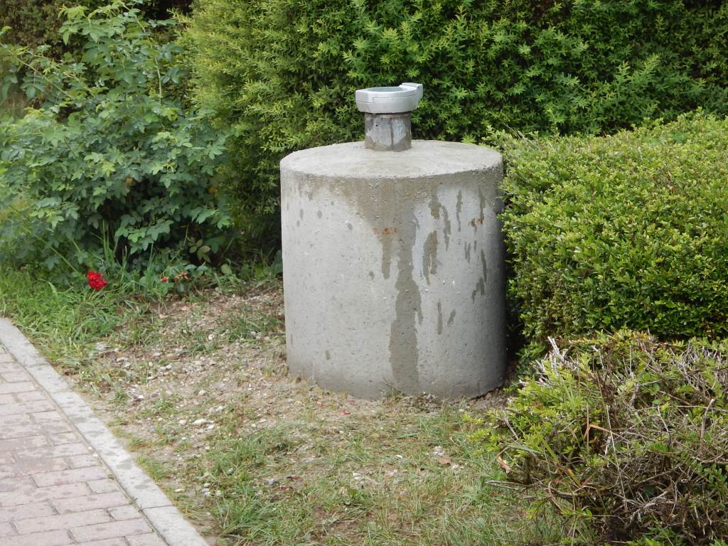
Picture of the measurement site
Location of the station FS-LERCHENFELD PB1
| Measurement site | Category |
|---|---|
 Mainburg Mainburg | Rivers: Runoff, Waterlevel, Water temperature, Water temperature |
| Freising | Rivers: Runoff, Waterlevel |
| Freising | Rivers: Runoff, Waterlevel, Water temperature, Water temperature |
| Freising | Rivers: Runoff, Waterlevel |