
- Start >
- Groundwater >
- Waterlevel of upper layer >
- Bayern >
- PASTETTEN Q 18 >
- Master data

Master data PASTETTEN Q 18
Site number: 14126
Measuring point system: Grundnetz
Community: --
District: Erding
Operator:  Wasserwirtschaftsamt München
Aquifer: Moräne
Measurement site depth under ground: 38.50 m
Ground level: 508.72 m above sealevel
Easting: 718845 (ETRS89 / UTM Zone 32N)
Northing: 5345276
Observation period: 21.05.2003 to 09.05.2024
Maximum waterlevel (HHW): 500.12 m above sealevel
Mean waterlevel (MW): 498.79 m above sealevel
Minimum waterlevel (NNW): 498.23 m above sealevel
Mean Highest Groundwater Level (MHGW): 499.10 m above sealevel (Period: 01.11.2002 - 01.11.2024)
Picture of the measurement site
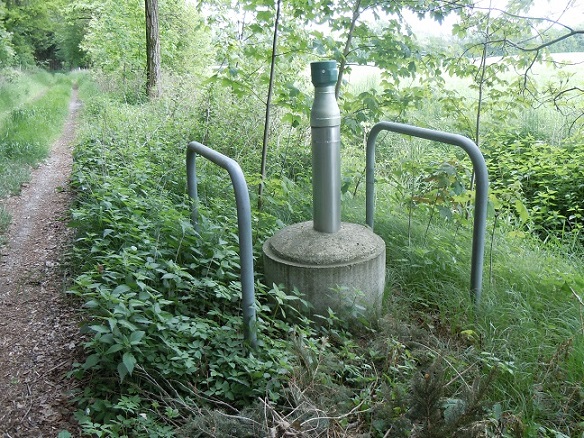
Location of the station PASTETTEN Q 18
| Measurement site | Category |
|---|---|
 Freising Freising | Rivers: Runoff, Waterlevel |
| Freising | Rivers: Runoff, Waterlevel, Water temperature, Water temperature |
| Freising | Rivers: Runoff, Waterlevel |
| Oberding | Rivers: Runoff, Waterlevel |