
- Start >
- Groundwater >
- Waterlevel of upper layer >
- Bayern >
- OTTOBEUREN D 67 >
- Master data

Master data OTTOBEUREN D 67
Site number: 9257
Measuring point system: Staatliches Sondernetz
Community: Ottobeuren
District: Unterallgäu
Operator:  Wasserwirtschaftsamt Kempten
Aquifer:
Measurement site depth under ground: --
Ground level: 650.18 m above sealevel
Easting: 597505 (ETRS89 / UTM Zone 32N)
Northing: 5310935
Observation period: 01.11.1986 to 13.01.2026
Hauptwerte (Tagesmittelwerte):
Maximum waterlevel (HHW): 648.61 m above sealevel
Mean waterlevel (MW): 647.48 m above sealevel
Minimum waterlevel (NNW): 647.12 m above sealevel
Mean Highest Groundwater Level (MHGW): 648.00 m above sealevel (Period: 01.11.1986 - 01.11.2026)
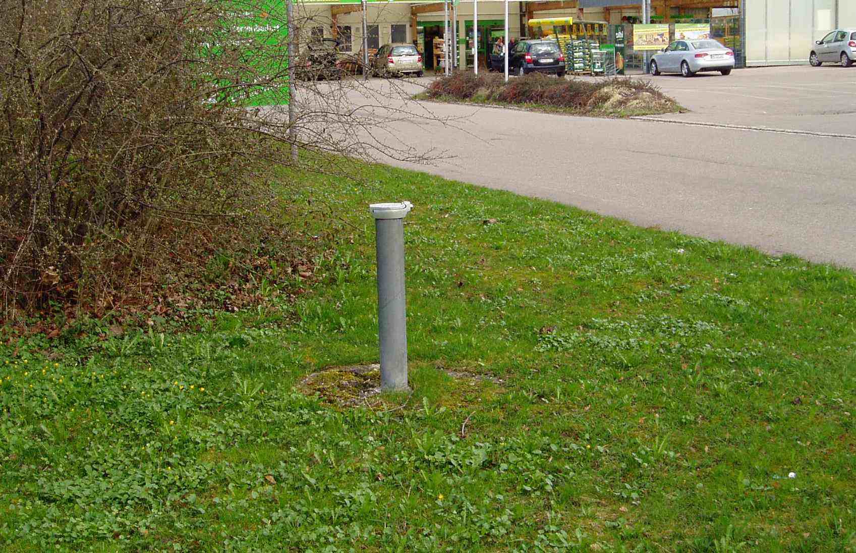
Picture of the measurement site
Location of the station OTTOBEUREN D 67
| Measurement site | Category |
|---|---|
 Kempten Kempten | Rivers: Runoff, Waterlevel, Water temperature, Water temperature, Suspended sediment |
| Aitrach KW | Rivers: Runoff |
| Ferthofen | Rivers: Runoff |
| Egelsee | Rivers: Runoff, Waterlevel |