
- Start >
- Groundwater >
- Waterlevel of upper layer >
- Bayern >
- KETTERSHAUSEN D 5 >
- Master data

Master data KETTERSHAUSEN D 5
Site number: 9235
Measuring point system: Verdichtungsnetz
Community: Kettershausen
District: Unterallgäu
Operator:  Wasserwirtschaftsamt Kempten
Aquifer: Quartär
Measurement site depth under ground: 9.70 m
Ground level: 529.63 m above sealevel
Easting: 592415 (ETRS89 / UTM Zone 32N)
Northing: 5336411
Observation period: 26.09.1984 to 11.12.2025
Hauptwerte (Tagesmittelwerte):
Maximum waterlevel (HHW): 529.44 m above sealevel
Mean waterlevel (MW): 528.38 m above sealevel
Minimum waterlevel (NNW): 528.01 m above sealevel
Mean Highest Groundwater Level (MHGW): 529.03 m above sealevel (Period: 01.11.1983 - 01.11.2026)
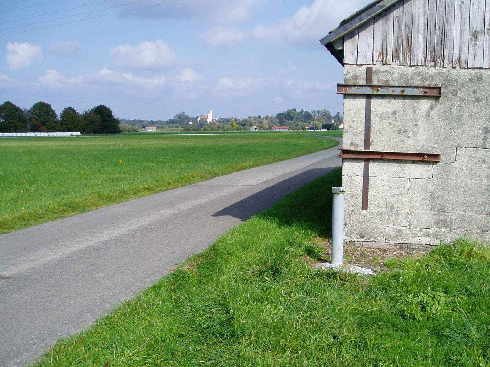
Picture of the measurement site
Location of the station KETTERSHAUSEN D 5
| Measurement site | Category |
|---|---|
 Aitrach KW Aitrach KW | Rivers: Runoff |
| Ferthofen | Rivers: Runoff |
| Egelsee | Rivers: Runoff, Waterlevel |
| Heimertingen | Rivers: Runoff, Waterlevel |