
- Start >
- Groundwater >
- Waterlevel of upper layer >
- Bayern >
- G9 HRB Feldolling >
- Master data

Master data G9 HRB Feldolling
Site number: 48825
Measuring point system: Staatliches Sondernetz
Community: Feldkirchen-Westerham
District: Rosenheim
Operator:  Wasserwirtschaftsamt Rosenheim
Aquifer:
Measurement site depth under ground: 5.50 m
Ground level: 527.69 m above sealevel
Easting: 714517 (ETRS89 / UTM Zone 32N)
Northing: 5307972
Observation period: 02.09.2010 to 18.11.2025
Hauptwerte (Tagesmittelwerte):
Maximum waterlevel (HHW): 527.77 m above sealevel
Mean waterlevel (MW): 526.60 m above sealevel
Minimum waterlevel (NNW): 526.22 m above sealevel
Mean Highest Groundwater Level (MHGW): 527.13 m above sealevel (Period: 01.11.2009 - 01.11.2026)
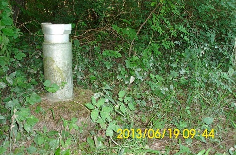
Picture of the measurement site
Location of the station G9 HRB Feldolling
| Measurement site | Category |
|---|---|
 Valley Valley | Rivers: Runoff, Waterlevel |
| Feldolling | Rivers: Runoff, Waterlevel, Water temperature, Water temperature |
| Bad Aibling Willinger Brücke | Rivers: Runoff, Waterlevel, Water temperature, Water temperature |
| Bad Aibling (virtuell) | Rivers: Runoff |