
- Start >
- Groundwater >
- Waterlevel of upper layer >
- Bayern >
- G12 HRB Feldolling >
- Master data

Master data G12 HRB Feldolling
Site number: 48772
Measuring point system: Staatliches Sondernetz
Community: Feldkirchen-Westerham
District: Rosenheim
Operator:  Wasserwirtschaftsamt Rosenheim
Aquifer: Quartär
Measurement site depth under ground: 15.00 m
Ground level: 536.47 m above sealevel
Easting: 714335 (ETRS89 / UTM Zone 32N)
Northing: 5307231
Observation period: 13.09.2006 to 08.05.2025
Hauptwerte (Tagesmittelwerte):
Maximum waterlevel (HHW): 525.86 m above sealevel
Mean waterlevel (MW): 523.70 m above sealevel
Minimum waterlevel (NNW): 522.66 m above sealevel
Mean Highest Groundwater Level (MHGW): 524.84 m above sealevel (Period: 01.11.2005 - 01.11.2025)
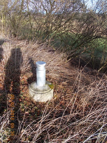
Picture of the measurement site
Location of the station G12 HRB Feldolling
| Measurement site | Category |
|---|---|
 Valley Valley | Rivers: Runoff, Waterlevel |
| Feldolling | Rivers: Runoff, Waterlevel, Water temperature, Water temperature |
| Bad Aibling Willinger Brücke | Rivers: Runoff, Waterlevel, Water temperature, Water temperature |
| Bad Aibling (virtuell) | Rivers: Runoff |